November 2026 Militaria and Political Auction · Lot 868
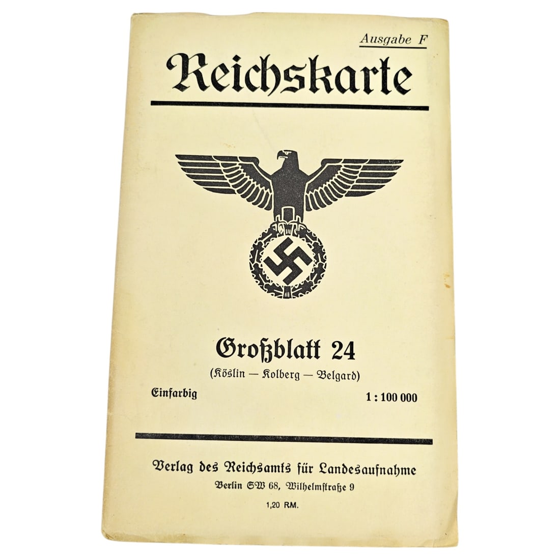
German WWII Reichskarte Grossblatt 24 (Koeslin-Kolberg-Belgard) Map Cover
Printed paper cover for a Reichskarte topographic map, headed "Reichskarte, Ausgabe F" with an eagle-and-wreath emblem above the title. The cover identifies the sheet as "Grossblatt 24 (Koeslin - Kolberg - Belgard)", printed einfarbig (single-color) at a scale of 1:100,000. Publication details credit the Verlag des Reichsamts fuer Landesaufnahme, Berlin SW68, Wilhelmstrasse 9, with a listed price of 1,20 RM.
Such Reichskarte sheets were standard German state topographic survey maps produced for civilian and military use, covering regions including areas of Pomerania such as Koeslin, Kolberg, and Belgard.
The Reichsamt fuer Landesaufnahme was the German state survey office responsible for producing standardized topographic mapping across the Reich, succeeding earlier Prussian and regional survey authorities, and its Reichskarte series at 1:100,000 scale served both civilian administrative planning and military use through the interwar and Second World War periods. The sheet covers Koeslin, Kolberg, and Belgard, towns in the Prussian province of Pomerania that lay along the Baltic coast and became part of Poland after 1945, with Kolberg in particular noted for the prolonged German defense and evacuation of the port in March 1945 as Soviet forces advanced. Maps of this type were issued for general navigation and administrative reference but were also drawn upon for wartime operational planning given their detailed terrain depiction.
Catalogued for November 2026 Militaria and Political Auction. This lot is not for sale on this site. Ask us about similar pieces