November 2026 Militaria and Political Auction · Lot 866
German WWII "Reichskarte" Map - Grossblatt 14, Braunsberg-Pillau
- Price realized
- $15
- hammer, buyer's premium excluded · November 2026 Militaria and Political Auction
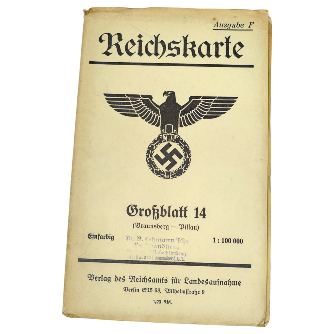
A printed folding map cover titled "Reichskarte, Ausgabe F", headed with a state eagle over a wreathed swastika, published by the Verlag des Reichsamts fuer Landesaufnahme, Berlin SW 68, Wilhelmstrasse 9. The sheet is designated "Grossblatt 14 (Braunsberg-Pillau)", printed in single color ("Einfarbig") at a scale of 1:100,000, priced at 1,20 RM. A retailer stamp for "Dr. B. Lehmann'sche Buchhandlung" appears above the price line, indicating the shop through which this copy was sold.
This type of Reichskarte formed part of the official German topographic mapping series covering the pre-war eastern territories, with Braunsberg and Pillau located in East Prussia along the Baltic coast.
This map sheet covers East Prussia's Baltic coastal district, with Braunsberg (now Braniewo, Poland) and Pillau (now Baltiysk, Russia's Kaliningrad Oblast) marking the terrain around the Vistula Lagoon approach to Koenigsberg. The Reichsamt fuer Landesaufnahme was the Reich's central surveying and mapping authority, producing standardized topographic series such as this "Ausgabe F" for civilian, administrative, and military use during the interwar and wartime periods. East Prussia was severed from the rest of Germany after 1945, with its territory divided between Poland and the Soviet Union, making such prewar mapping a record of German administrative geography that no longer exists in this form.
Sold in November 2026 Militaria and Political Auction. This lot is not available to buy. Ask us about similar pieces