November 2026 Militaria and Political Auction · Lot 865
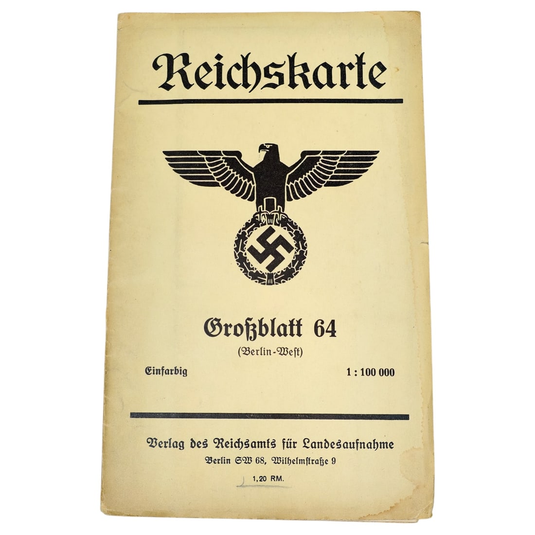
German WWII "Reichskarte" Grossblatt 64 (Berlin-West) Map Cover
- Price realized
- $55
- hammer, buyer's premium excluded · November 2026 Militaria and Political Auction
Printed cover for a Reichskarte survey map sheet, Grossblatt 64, covering the Berlin-West area at a scale of 1:100,000, described as "Einfarbig" (single-color). The cover bears a state eagle grasping a wreathed swastika above the title, with publication details for the Verlag des Reichsamts fuer Landesaufnahme, Berlin SW 68, Wilhelmstrasse 9, and a price of 1.20 RM.
The Reichsamt fuer Landesaufnahme was the central German mapping authority responsible for producing standardized topographic survey sheets during the Third Reich period, used for civil, military, and administrative purposes.
The Reichskarte 1:100,000 series formed part of Germany's standardized topographic survey system, produced under the Reichsamt fuer Landesaufnahme in Berlin, which succeeded earlier Prussian and imperial mapping bodies to provide uniform coverage of the national territory. Sheets such as Grossblatt 64 (Berlin-West) served overlapping civilian, administrative, and military planning purposes, with the state eagle and swastika on the cover reflecting the agency's incorporation into the Nazi state apparatus after 1933. Such maps were widely used by both civil authorities and the Wehrmacht through the war years for regional orientation and logistical planning.
Sold in November 2026 Militaria and Political Auction. This lot is not available to buy. Ask us about similar pieces