November 2026 Militaria and Political Auction · Lot 864
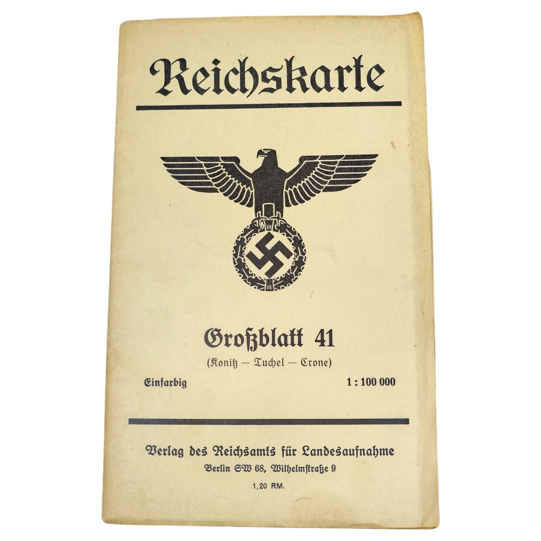
German WWII Reichskarte Map "Grossblatt 41 (Konitz Tuchel Crone)"
- Price realized
- $20
- hammer, buyer's premium excluded · November 2026 Militaria and Political Auction
A printed folding map titled "Reichskarte, " issued under the eagle-and-wreath state emblem of the Reichsamt fuer Landesaufnahme. The cover identifies it as "Grossblatt 41 (Konitz Tuchel Crone), " printed in single color ("Einfarbig") at a scale of 1:100,000, published by Verlag des Reichsamts fuer Landesaufnahme, Berlin SW 68, Wilhelmstrasse 9, priced at 1,20 RM.
These official survey maps covered regions of Germany and annexed or occupied territories during the 1930s and 1940s, with the KonitzTuchelCrone sheet depicting an area of West Prussia/Pomerania that changed hands between Germany and Poland in this period.
The Reichsamt fuer Landesaufnahme was the German state survey office responsible for producing standardized topographic maps at scales such as 1:100,000, used for civilian administration, planning, and military purposes. The area covered by this sheet, KonitzTuchelCrone (now ChojniceTucholaKoronowo in Poland), lay in West Prussia and Pomerania, a region ceded to the reconstituted Polish state after 1918 and reoccupied by Germany following the invasion of Poland in September 1939. Such maps were widely used by German civil and military authorities during the occupation period for administrative reorganization and troop movements in the annexed eastern territories.
Sold in November 2026 Militaria and Political Auction. This lot is not available to buy. Ask us about similar pieces