November 2026 Militaria and Political Auction · Lot 863
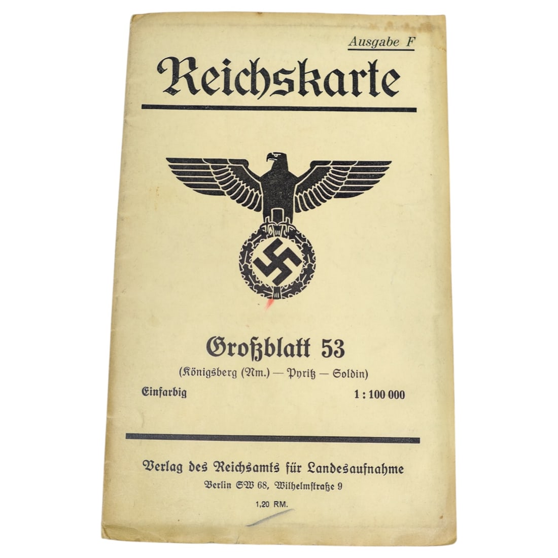
German WWII Reichskarte Map - Grossblatt 53 (Koenigsberg (Nm.) Pyritz Soldin)
- Price realized
- $60
- hammer, buyer's premium excluded · November 2026 Militaria and Political Auction
A printed map cover titled "Reichskarte, Ausgabe F, " issued by the Verlag des Reichsamts fuer Landesaufnahme, Berlin. The cover bears a state eagle emblem above a wreathed swastika, with the title "Grossblatt 53 (Koenigsberg (Nm.) Pyritz Soldin), Einfarbig, 1:100 000" and a listed price of 1,20 RM.
This type of large-format topographic map was produced by the German national mapping office for regional survey and reference use, covering the area between Koenigsberg in der Neumark, Pyritz, and Soldin in the historical province of Brandenburg.
This map covers territory in the Neumark region of Brandenburg, east of the Oder, which formed part of Germany until 1945 and was subsequently incorporated into Poland, with Koenigsberg in der Neumark, Pyritz, and Soldin becoming Chojna, Pyrzyce, and Mysliborz respectively. The Reichsamt fuer Landesaufnahme was the Reich's official surveying and mapping authority, producing standardised topographic sheets such as this for civilian administrative, planning, and military reference purposes during the interwar and Nazi periods. The state eagle and swastika on the cover reflect its status as an official government publication of the Third Reich era.
Sold in November 2026 Militaria and Political Auction. This lot is not available to buy. Ask us about similar pieces