November 2026 Militaria and Political Auction · Lot 862
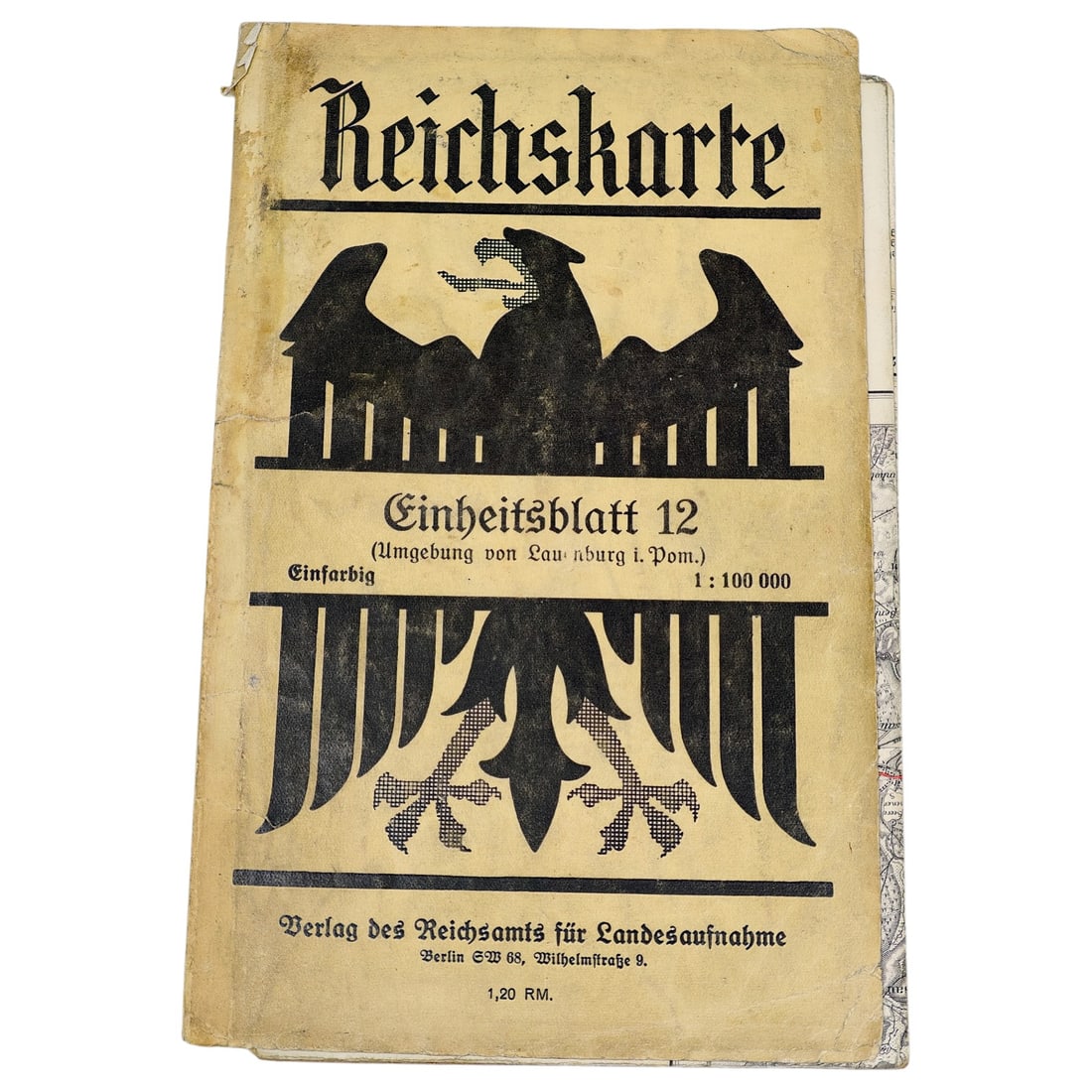
German Reichskarte Map - Einheitsblatt 12, Umgebung von Lauenburg i. Pom.
- Price realized
- $30
- hammer, buyer's premium excluded · November 2026 Militaria and Political Auction
A folding map titled "Reichskarte", Einheitsblatt 12, covering the area around Lauenburg in Pomerania at a scale of 1:100,000. The cover bears a stylized German eagle motif and is printed by Verlag des Reichsamts fuer Landesaufnahme, Berlin SW 68, Wilhelmstrasse 9, with a stated price of 1,20 RM.
Maps of this series were produced by the German Reich's official mapping office for civil and administrative use, with regional sheets such as this one covering specific districts across the country.
The Reichsamt fuer Landesaufnahme was the central German state cartographic authority responsible for producing standardized topographic surveys, including the Reichskarte series at 1:100,000 scale that succeeded earlier Prussian mapping efforts. Lauenburg in Pommern (now Lebork, Poland) was a district town in eastern Pomerania, a region that formed part of the German Reich until 1945, after which it was incorporated into Poland following the postwar border changes. Such sheets served administrative, military, and civilian planning purposes and are today valued as records of German-era place names and territorial administration in a region whose political affiliation has since changed.
Sold in November 2026 Militaria and Political Auction. This lot is not available to buy. Ask us about similar pieces