November 2026 Militaria and Political Auction · Lot 861
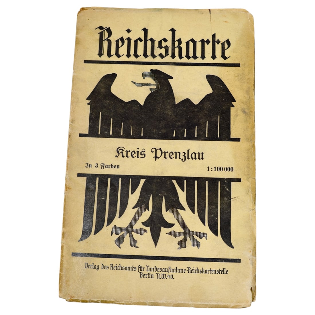
German Reichskarte Map - Kreis Prenzlau
- Price realized
- $10
- hammer, buyer's premium excluded · November 2026 Militaria and Political Auction
A folded map cover titled "Reichskarte" for the district of Kreis Prenzlau, printed in three colors at a scale of 1:100,000. The cover features a stylized eagle motif divided across the design and is published by the Verlag des Reichsamts fuer Landesaufnahme, Reichskartenstelle, Berlin N.W. 40.
Maps of this type were produced by the German state cartographic office for regional survey and administrative use, with individual sheets covering specific districts (Kreise) across the country.
The Reichsamt fuer Landesaufnahme was the central German state survey authority responsible for national topographic mapping from the late 19th century through the interwar period, producing standardized 1:100,000 scale sheets that covered the entire Reich in a systematic grid. Kreis Prenzlau lay in the Uckermark region of Brandenburg, and maps of this kind served military, administrative, and civilian planning purposes, remaining in use through the Weimar era and into the Nazi period. The eagle motif on the cover reflects the state emblem current at the time of printing, a common feature of official German cartographic publications of the era.
Sold in November 2026 Militaria and Political Auction. This lot is not available to buy. Ask us about similar pieces