Fall 2026 Militaria and Political Auction · Lot 737
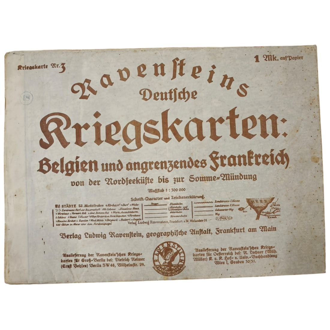
German WWI Map "Ravensteins Deutsche Kriegskarten" No. 3 – Belgien und angrenzendes Frankreich
- Price realized
- $5
- hammer, buyer's premium excluded · Fall 2026 Militaria and Political Auction
A wartime map cover titled "Ravensteins Deutsche Kriegskarten: Belgien und angrenzendes Frankreich, von der Nordseeküste bis zur Somme-Mündung, " printed at a scale of 1:300,000. Published by Verlag Ludwig Ravenstein, geographische Anstalt, Frankfurt am Main, with distribution notices for Berlin and Vienna printed at the lower portion of the sheet. The cover includes a legend explaining map symbols for towns, railways, roads, and canals, along with a printed price of 1 Mark. Ravenstein's war map series was produced during the First World War to provide the German public and military-adjacent audiences with detailed regional maps of the Western Front, covering Belgium and the adjoining areas of northern France between the North Sea coast and the mouth of the Somme. These commercially published "Kriegskarten" (war maps) were a common feature of the German home front during the First World War, allowing civilians to follow the progress of campaigns reported in the press by referencing named towns, rail lines, and waterways. The Ludwig Ravenstein firm in Frankfurt was an established German cartographic publisher, and this sheet covering the North Sea coast down to the Somme corresponds to the area of the Western Front where German forces faced the Belgian, British, and French armies from 1914 onward, including the region of the 1914 "Race to the Sea" and subsequent trench warfare around Flanders and the Somme. Such maps were produced for a general readership rather than for operational military use, reflecting the wartime demand for geographic literacy about the fighting fronts.
Sold in Fall 2026 Militaria and Political Auction. This lot is not available to buy. Ask us about similar pieces