Fall 2026 Militaria and Political Auction · Lot 736
German District Map "Bezirkskarte Fürstenfeldbruck" - Sparkassen Promotional Map
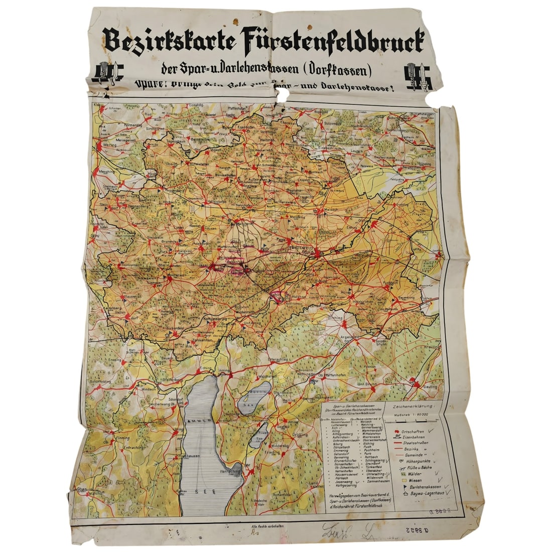
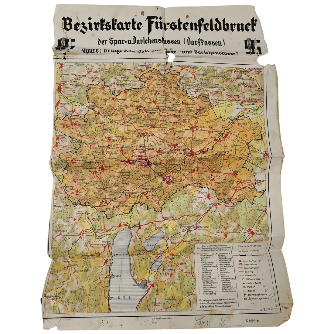
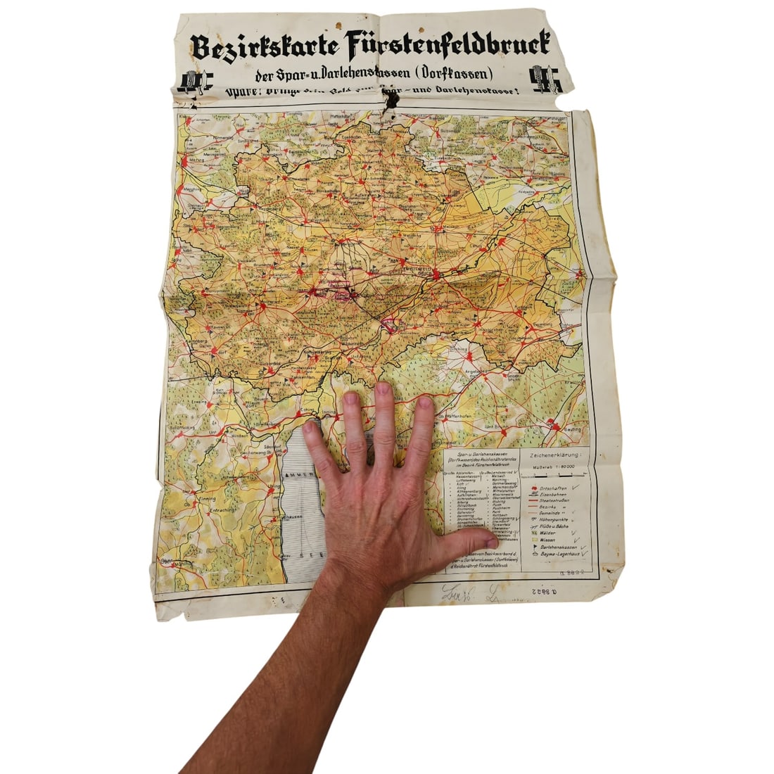
A large printed district map titled "Bezirkskarte Fürstenfeldbruck der Spar- u. Darlehenskassen (Dorfkassen), " produced to promote local savings and loan banks (Sparkassen) in the Fürstenfeldbruck district of Bavaria. The map is rendered in color with shaded terrain, roads, rail lines, lakes including the Ammersee, and numerous village and town names, with a printed legend (Zeichenerklärung) at lower right explaining the symbols used for savings offices, roads, and other features. The header carries the slogan urging residents to bring their savings to the local Spar- und Darlehenskasse, along with a decorative Gothic-script title and small emblem motifs at either end of the banner. Maps of this type were distributed by regional savings cooperatives in Germany during the interwar and Third Reich periods as a promotional and informational tool, tying local geography to the network of village savings institutions. This map reflects the German cooperative savings movement rooted in the 19th-century Raiffeisen and Schulze-Delitzsch traditions, which established rural Spar- und Darlehenskassen to provide farmers and villagers with local credit and savings facilities. Such district maps served both a practical function, showing depositors where their nearest cooperative office was located, and a promotional one, reinforcing loyalty to the local institution over urban banks. Fürstenfeldbruck, a district west of Munich in Upper Bavaria, was characterised by small agricultural communities for which these cooperative banks formed an important part of rural economic life during the interwar and Nazi eras.
Catalogued for Fall 2026 Militaria and Political Auction. This lot is not for sale on this site. Ask us about similar pieces