Fall 2026 Militaria and Political Auction · Lot 735
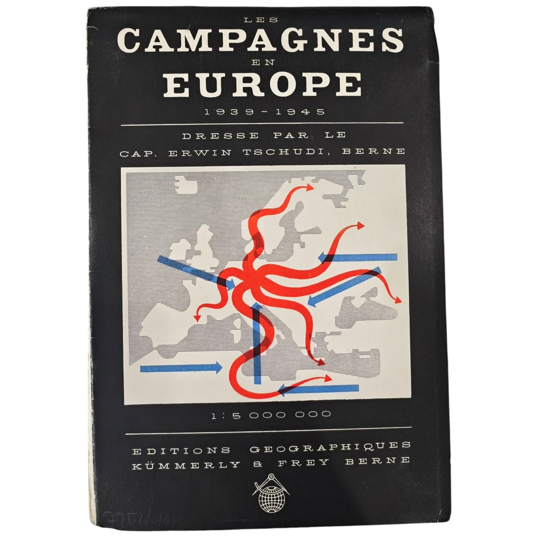
Les Campagnes en Europe 1939-1945 - Folding Map Book by Cap. Erwin Tschudi
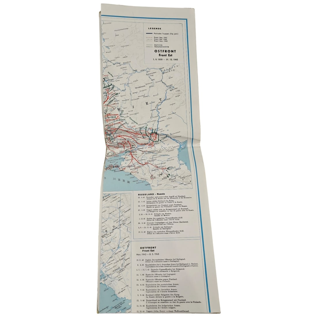
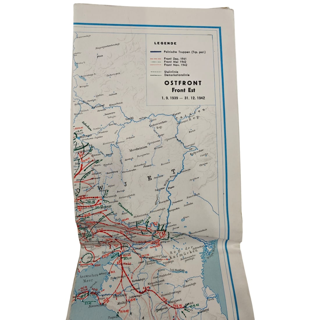
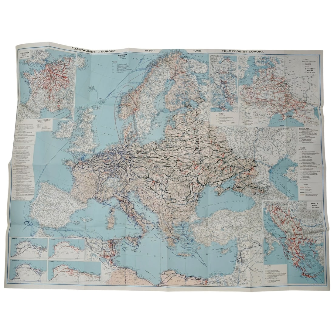
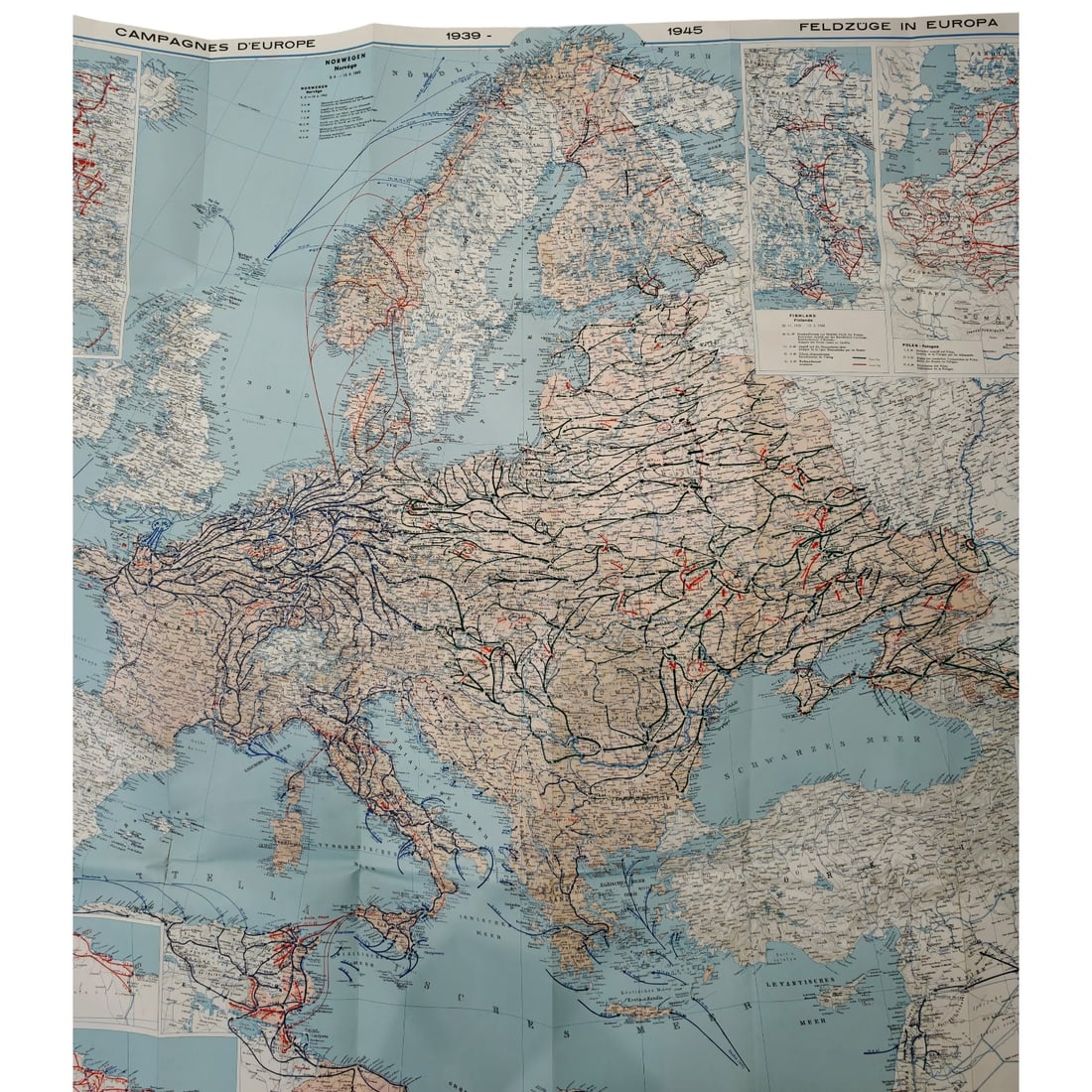
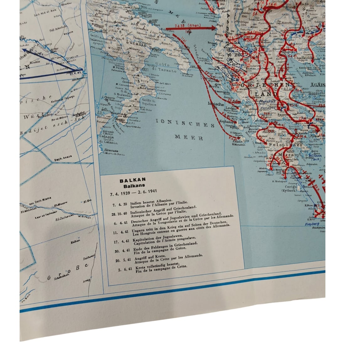
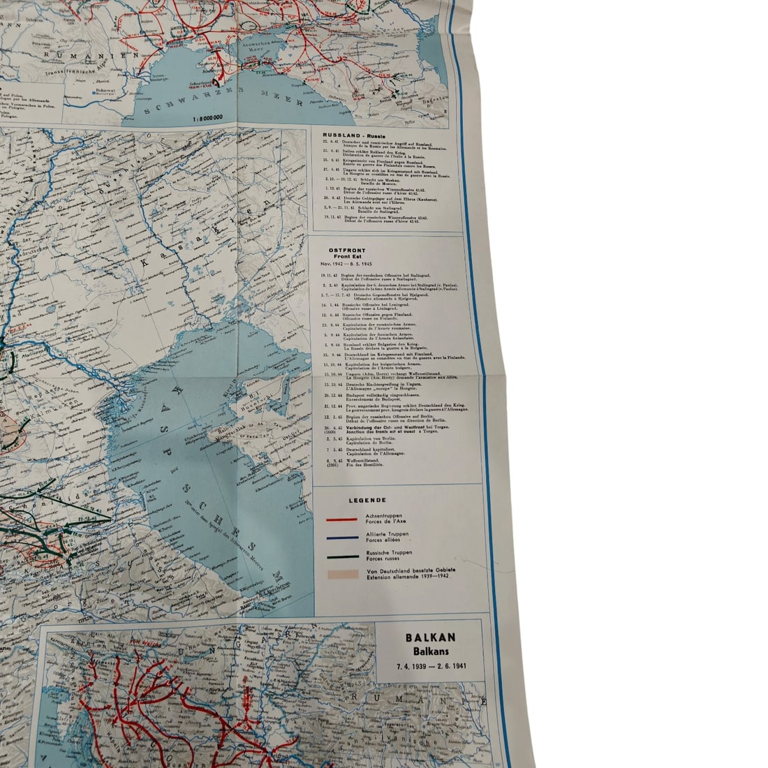
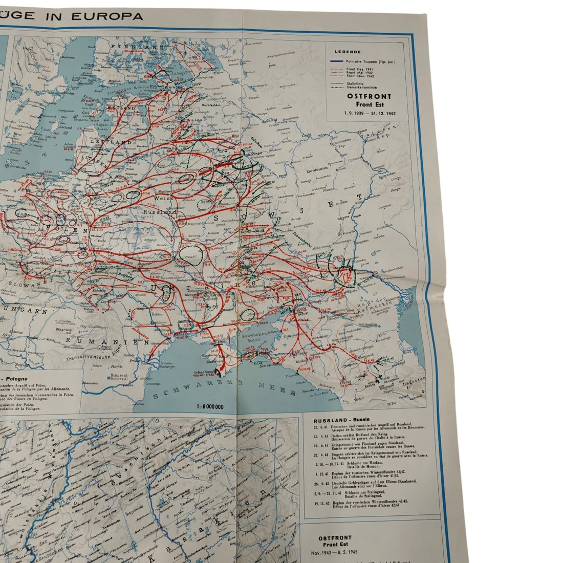
A softcover reference book with large folding map, published by Editions Géographiques Kümmerly & Frey, Berne, compiled by Cap. Erwin Tschudi. The cover shows a stylized map of Europe with arrows tracing military campaign movements, titled "Les Campagnes en Europe 1939-1945" at scale 1:5,000,000. Inside, a multi-panel folding map titled "Campagnes d'Europe / Feldzüge in Europa 1939-1945" details fronts and campaigns across Europe, including an "Ostfront/Front Est" panel covering 1.9.1939-31.12.1942 with troop movement lines, dated engagement lists, and inset maps for the Balkans, Norway, France, and North Africa. This type of geographic publication was produced by Swiss cartographic houses in the postwar years to document the campaigns of the Second World War for a general and academic readership, reflecting neutral Switzerland's role in compiling detailed strategic overviews of the conflict. This atlas belongs to a genre of Swiss-published cartographic surveys produced in the years immediately following the Second World War, when publishers such as Kümmerly & Frey in Berne sought to offer a comprehensive, dispassionate overview of the conflict's fronts for educational and reference use. Compiled by a Swiss military officer, such works drew on neutral Switzerland's position to present campaign movements across the Eastern Front, the Balkans, Scandinavia, and North Africa without the propagandistic framing typical of belligerent nations' publications. These map books were widely used by libraries, military academies, and interested civilians in the early postwar period as one of the first attempts to synthesize the war's sprawling operations into a single coherent visual record.
Catalogued for Fall 2026 Militaria and Political Auction. This lot is not for sale on this site. Ask us about similar pieces