Fall 2026 Militaria and Political Auction · Lot 734
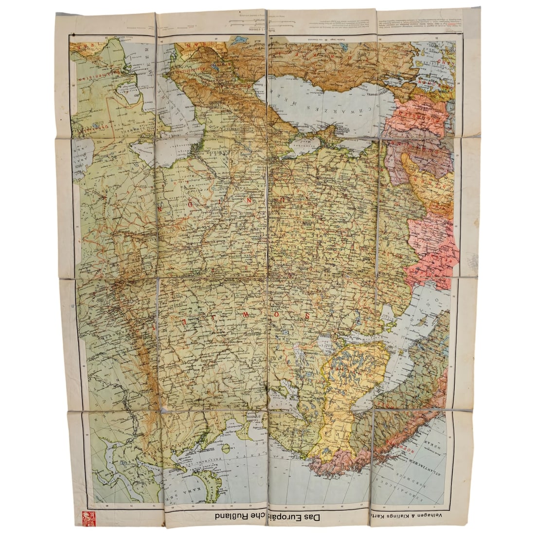
German Map "Das Europäische Rußland" by Velhagen & Klasing
- Price realized
- $1
- hammer, buyer's premium excluded · Fall 2026 Militaria and Political Auction
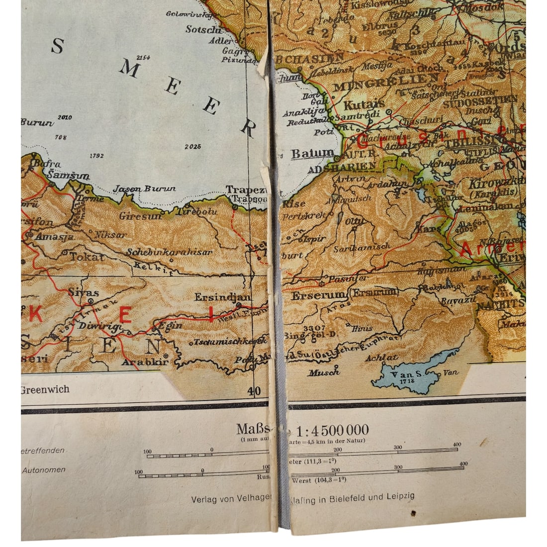
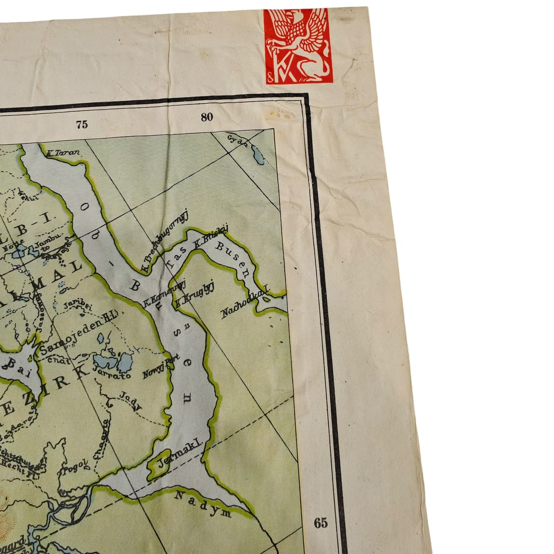
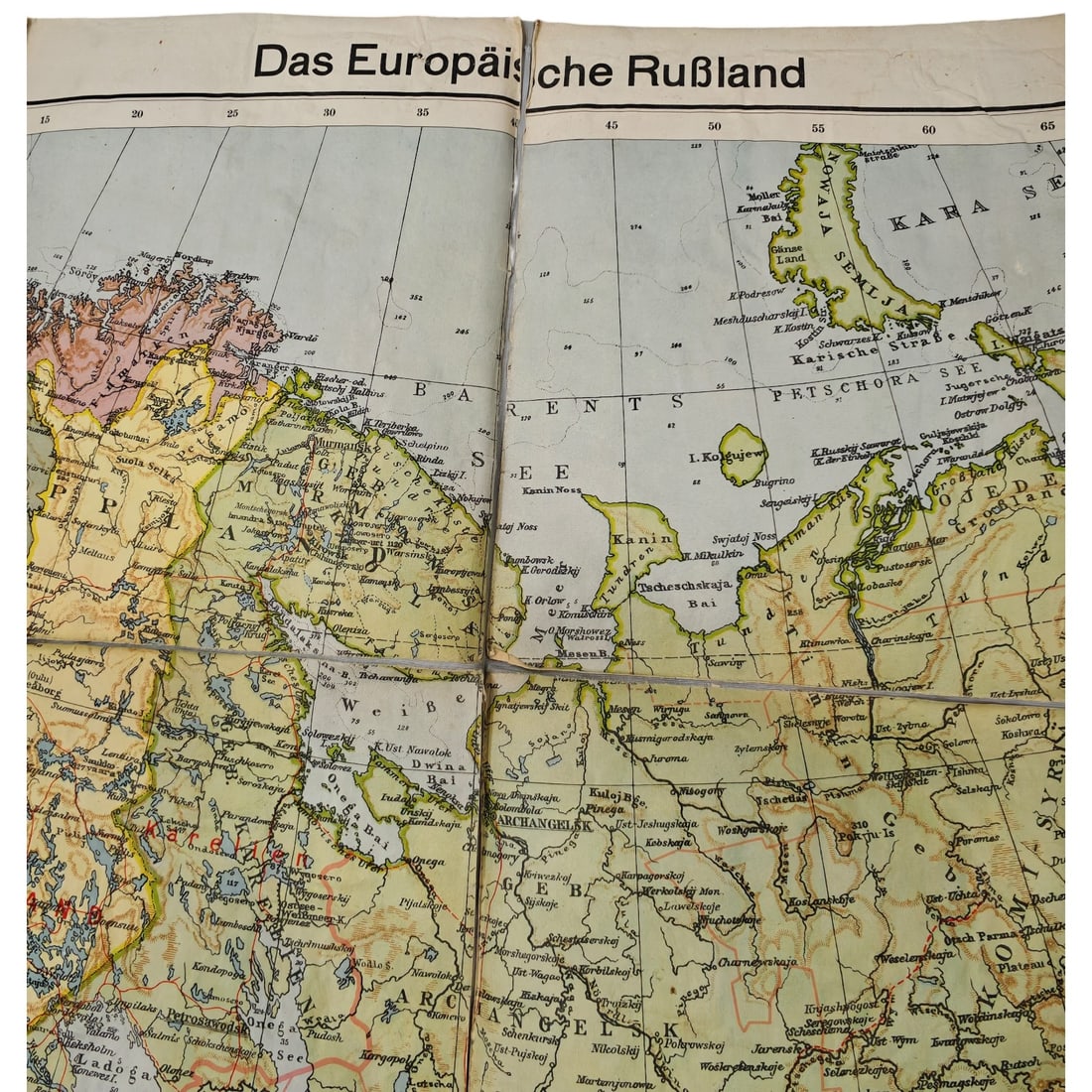
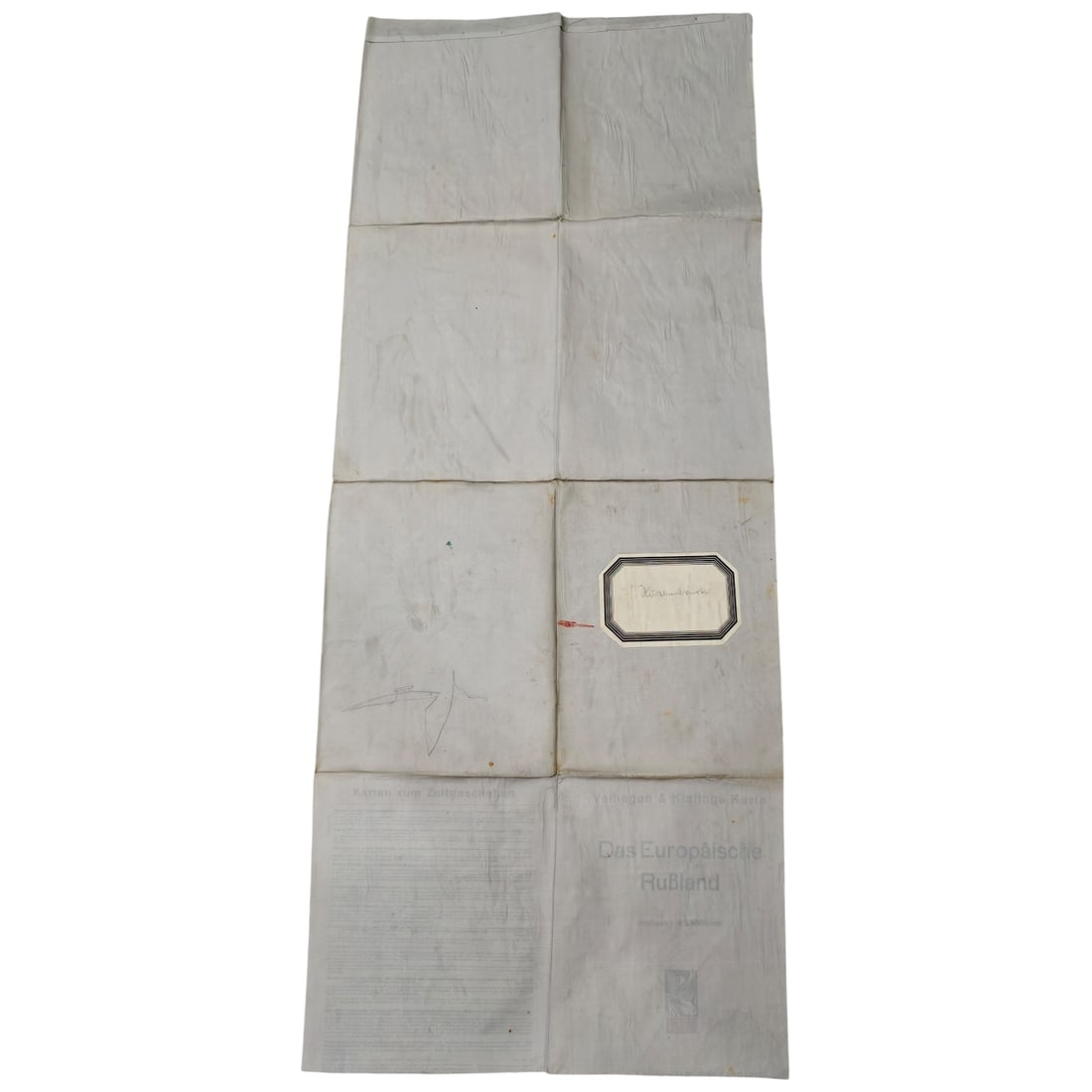
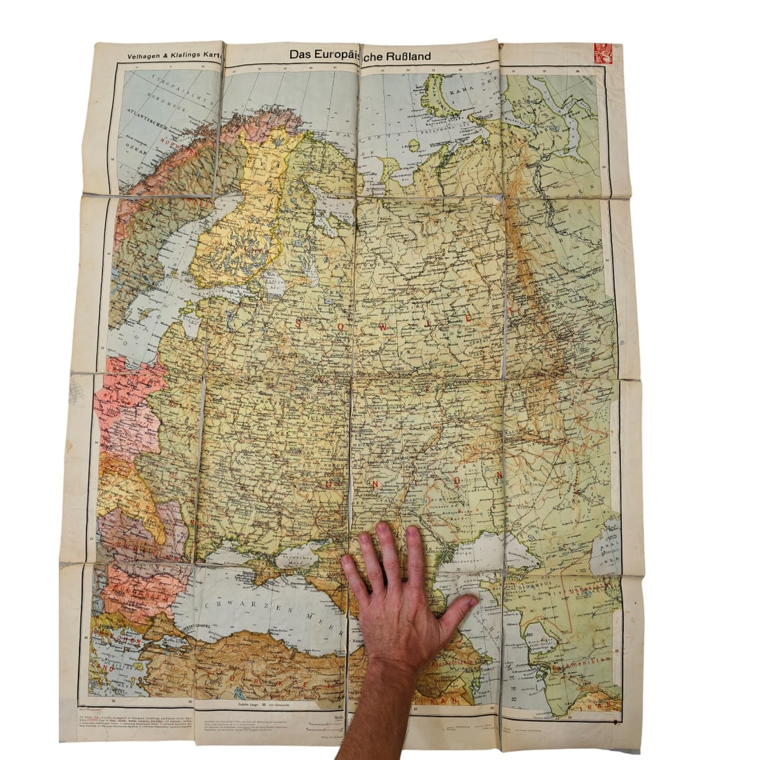
A large folding wall map titled "Das Europäische Rußland" (European Russia), published by Velhagen & Klasing of Bielefeld and Leipzig, printed at a scale of 1:4,500,000. The map is linen-backed and divides into sections along fold lines, covering the Soviet Union's western and southern territories including the Caucasus, Crimea, and the Barents and Black Sea coastlines, with cities, rail lines, and elevations marked throughout. A red griffin device of the publisher appears in one corner, and a label field is present on the folded reverse side. Maps of this type were produced by German commercial cartographic firms for general reference and educational use, with this title reflecting the interwar or wartime designation of the Soviet Union's European territory. Velhagen & Klasing was a well-established German publishing house known for atlases, wall maps, and educational materials from the late nineteenth century onward, supplying schools and general audiences with geographic reference works. Maps depicting "European Russia" in this period reflect the standard German cartographic convention of treating the Soviet Union's western regions, including the Caucasus, Crimea, and the Black Sea and Barents Sea coasts, as a distinct geographic and strategic zone. Such wall maps served both educational and general-reference purposes, and detailed depictions of Soviet territory, rail infrastructure, and terrain were of practical value in Germany during the interwar and wartime years when the region featured prominently in political and military planning. The publisher's device and folding, linen-backed format are typical of commercially produced classroom and reference maps of the era.
Sold in Fall 2026 Militaria and Political Auction. This lot is not available to buy. Ask us about similar pieces