Fall 2026 Militaria and Political Auction · Lot 733
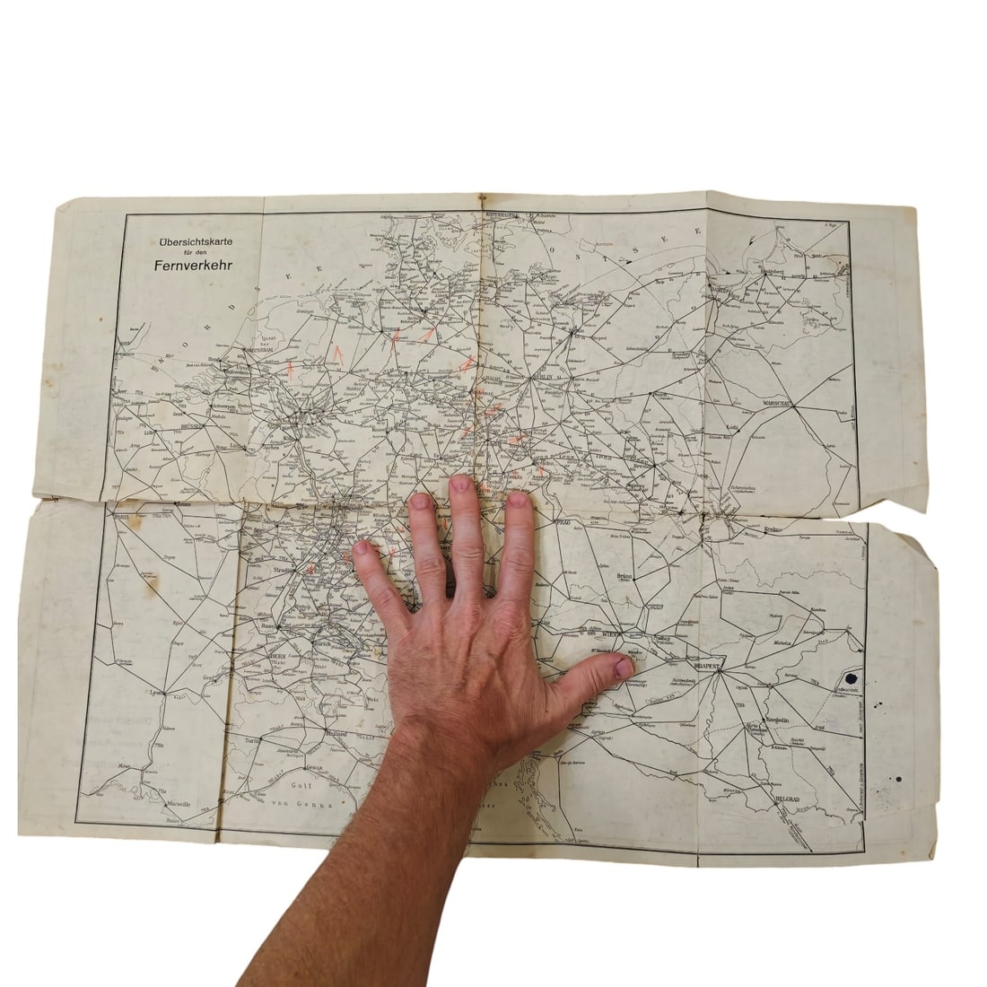
German Reichsbahn Kursbuch Fold-Out Railway Map, Südwestdeutschland / Fernverkehr
- Price realized
- $5
- hammer, buyer's premium excluded · Fall 2026 Militaria and Political Auction
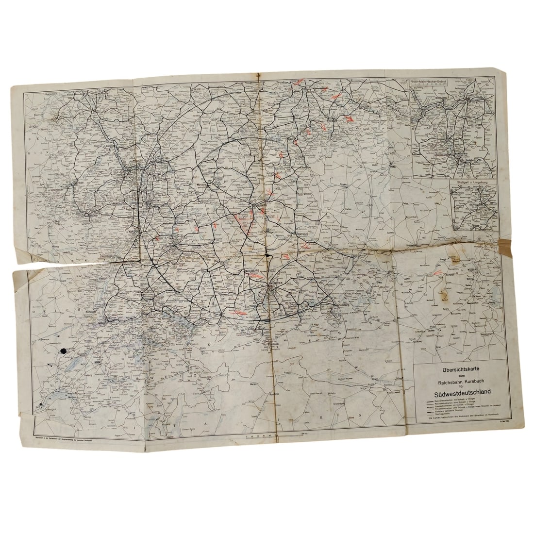
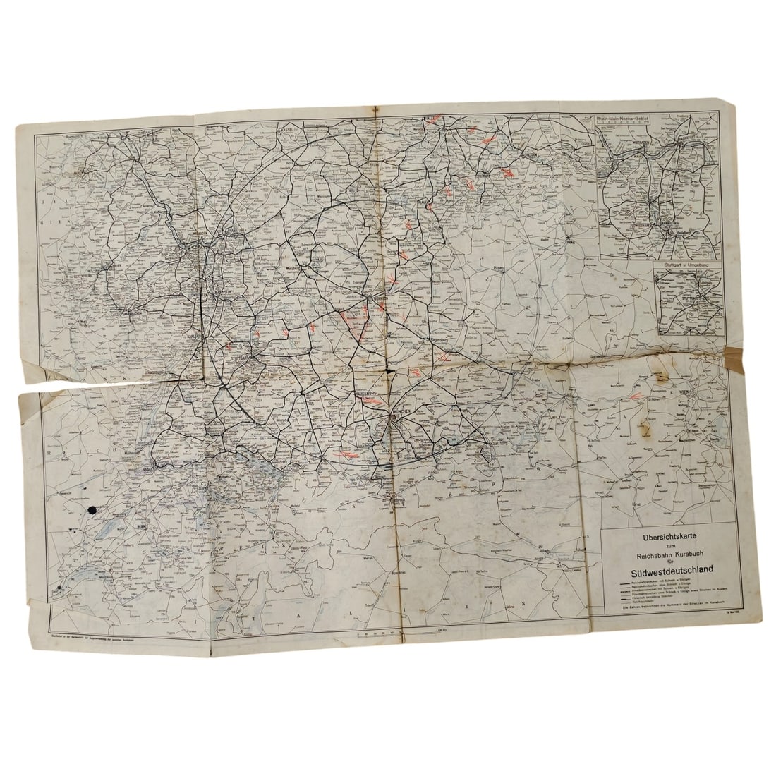
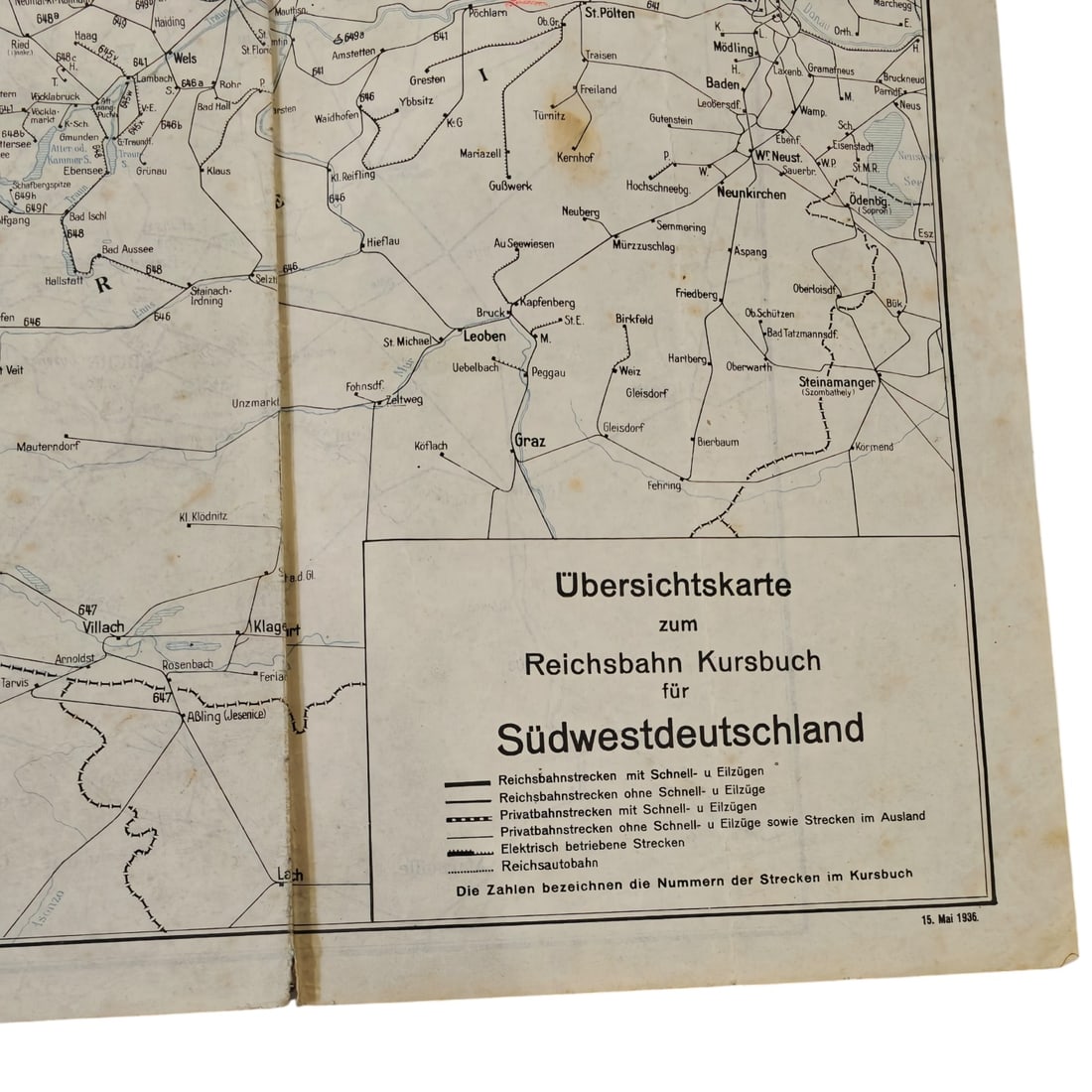
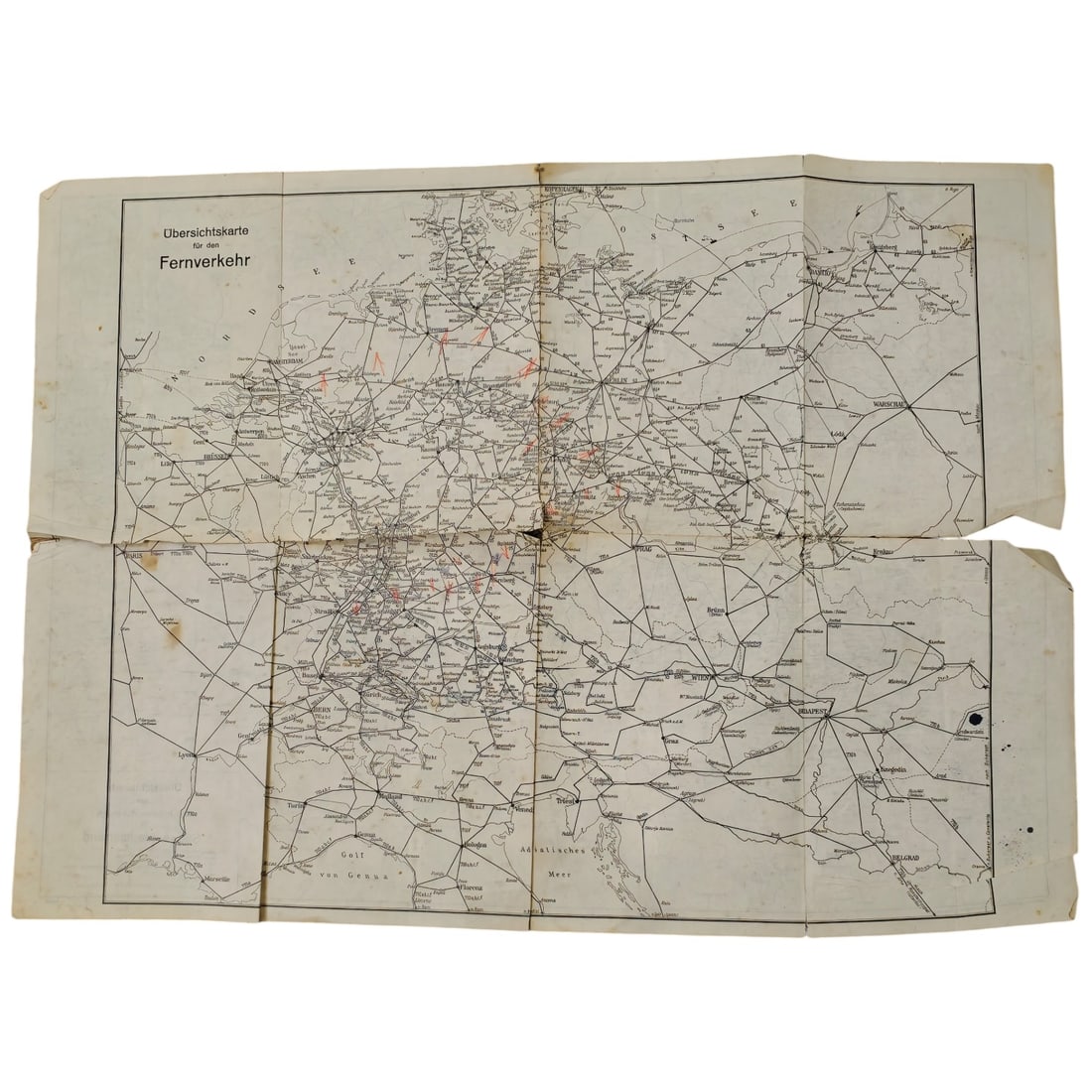
A large fold-out railway route map issued as an overview supplement to the Reichsbahn Kursbuch (official German railway timetable book), printed on one side with the "Übersichtskarte zum Reichsbahn Kursbuch für Südwestdeutschland" showing rail lines, stations, and route numbers across southwestern Germany and neighbouring regions, dated 15. Mai 1938 in the lower corner of the legend panel. The other side carries the "Übersichtskarte für den Fernverkehr, " a wider-ranging overview map covering long-distance rail connections across central Europe. Both sides include a printed legend distinguishing Reichsbahn main lines, secondary lines, private railways, electrified routes, and the Reichsautobahn, with some routes highlighted by hand in red. Maps of this type were distributed alongside the Reichsbahn's regional and long-distance timetable booklets to help travelers visualize connecting routes across Germany and into neighbouring countries during the late 1930s. This map dates from May 1938, a period when the Deutsche Reichsbahn served as the state railway of Nazi Germany, having absorbed Austria's rail network into its long-distance timetable system only months earlier following the Anschluss of March 1938. The inclusion of the Reichsautobahn network alongside rail routes reflects the regime's parallel promotion of the still-expanding motorway system as a symbol of modernization. Such Kursbuch supplements were practical travel aids for the public, distributed widely through railway stations and travel agencies to assist passengers in planning journeys across an increasingly centralized and politically significant transport network in the lead-up to the Second World War.
Sold in Fall 2026 Militaria and Political Auction. This lot is not available to buy. Ask us about similar pieces