Fall 2026 Militaria and Political Auction · Lot 732
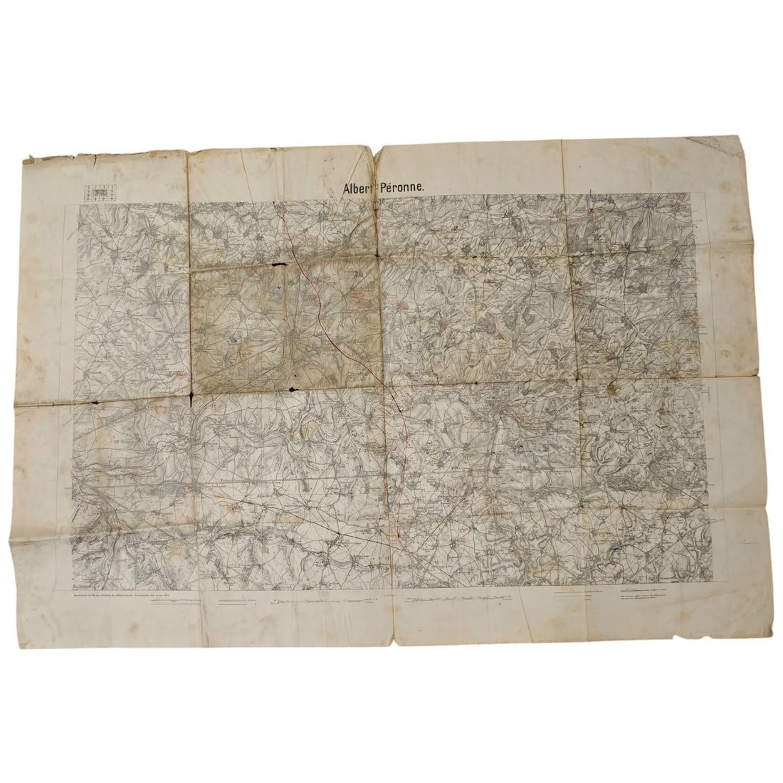
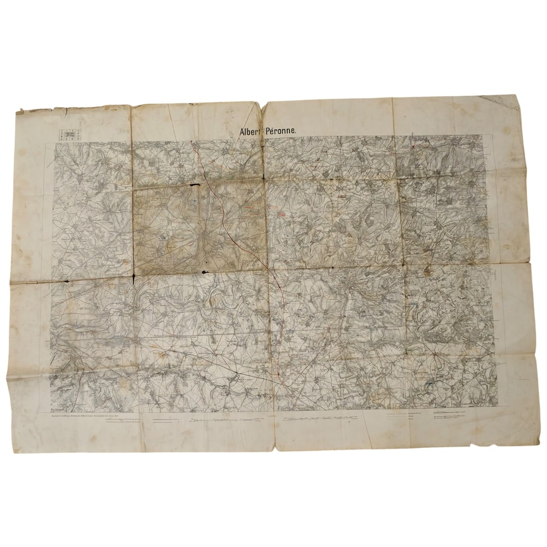
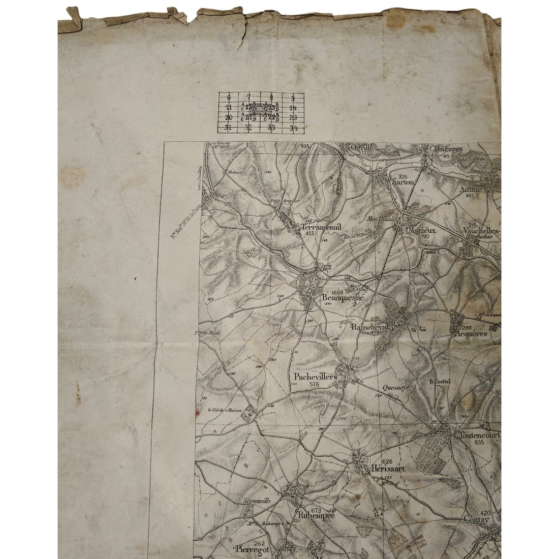
German WWI Staff Map "Albert – Péronne", Somme Sector
- Price realized
- $5
- hammer, buyer's premium excluded · Fall 2026 Militaria and Political Auction
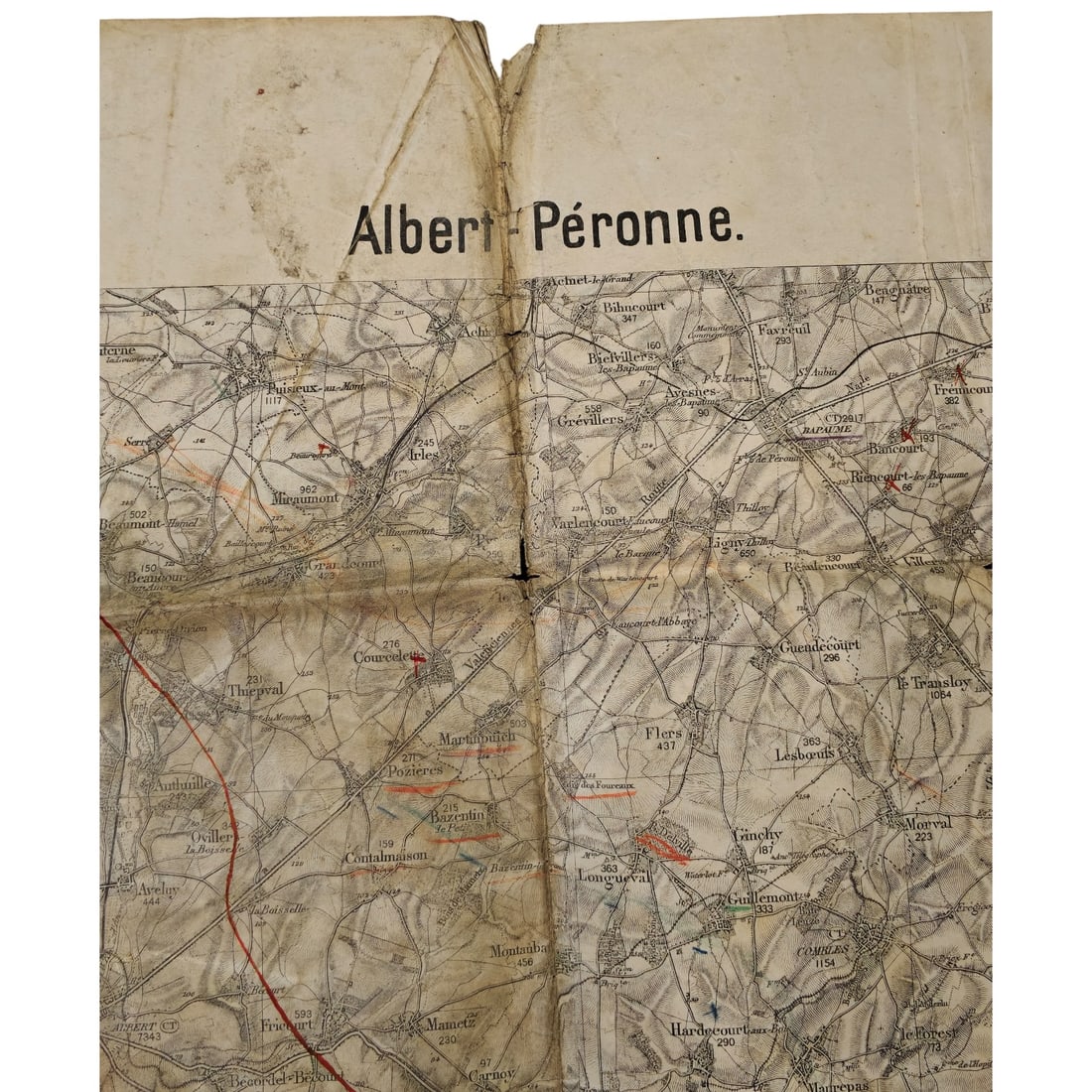
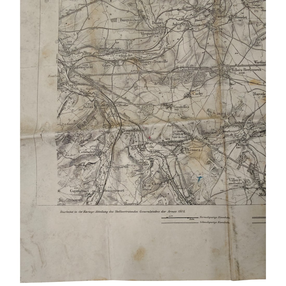
A large-format German general staff map titled "Albert – Péronne", covering the Somme battlefield area including Thiepval, Pozières, Contalmaison, Longueval, Guillemont, Combles, Villers-Bretonneux, and surrounding villages. The map is annotated in red, blue, and black ink marking positions and features along a route, with a printed reference grid in the upper corner. A printed credit line notes preparation by the cartographic section of the Deputy General Staff of the Army in 1915, along with a legend distinguishing standard and narrow-gauge railways. This sheet corresponds to one of the key sectors of the 1916 Battle of the Somme, encompassing villages that saw some of the heaviest fighting of the campaign, including Thiepval and Pozières. Maps of this type were issued to German staff and field officers for planning and reference in the trench war along the Somme front. Produced by the cartographic section of the Deputy General Staff in 1915, this map covers ground that became the epicentre of the 1916 Battle of the Somme, one of the largest and costliest engagements of the First World War. Villages named on the sheet—Thiepval, Pozières, Guillemont, Longueval, and Combles among them—were the scenes of prolonged and heavy fighting between British and German forces between July and November 1916, with several changing hands multiple times at great cost to both sides. Such staff maps were standard tools issued to German officers for reconnaissance, artillery coordination, and trench-line planning, and the manuscript annotations reflect their practical use in the field rather than purely archival production.
Sold in Fall 2026 Militaria and Political Auction. This lot is not available to buy. Ask us about similar pieces