Fall 2026 Militaria and Political Auction · Lot 731
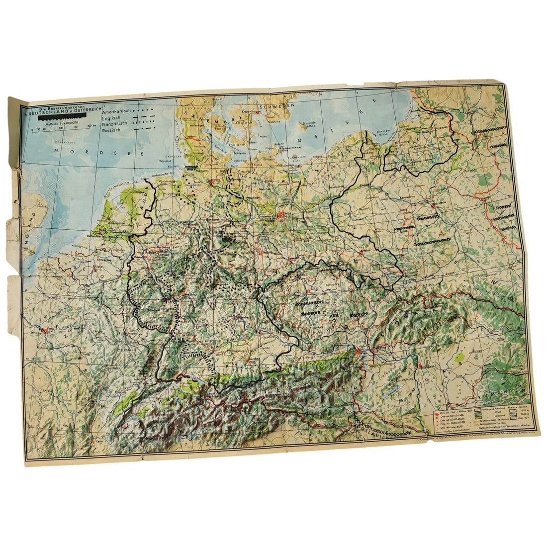
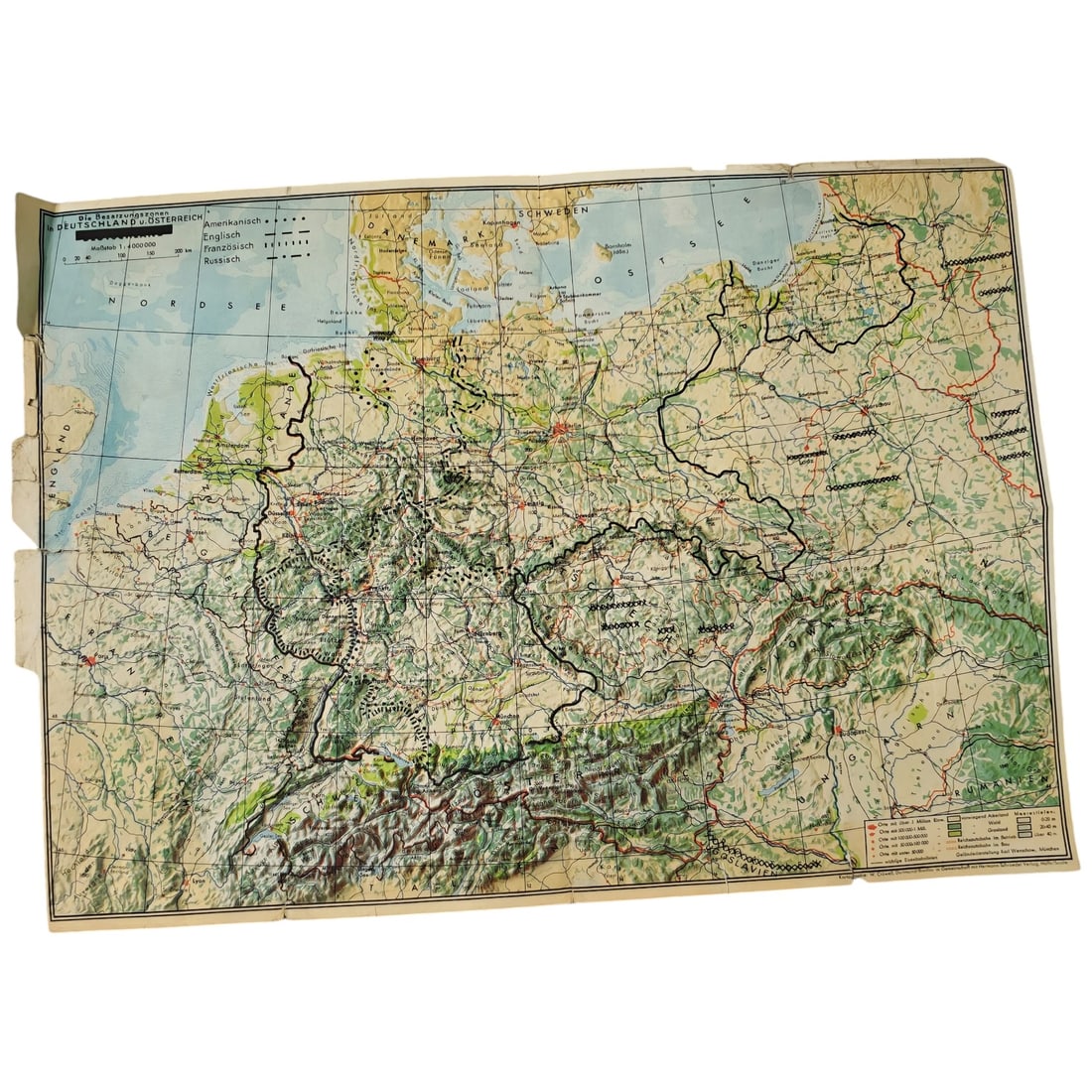
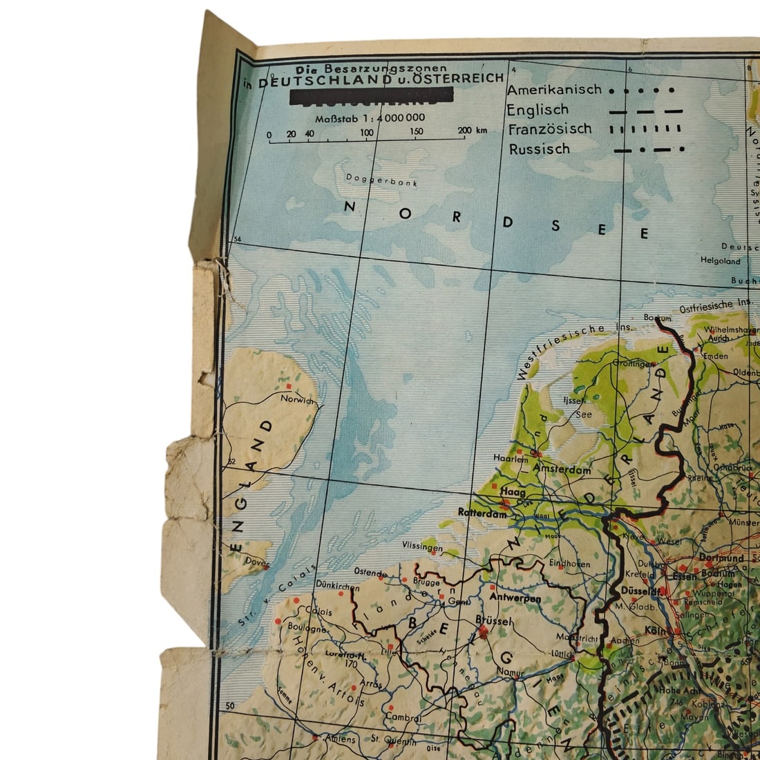
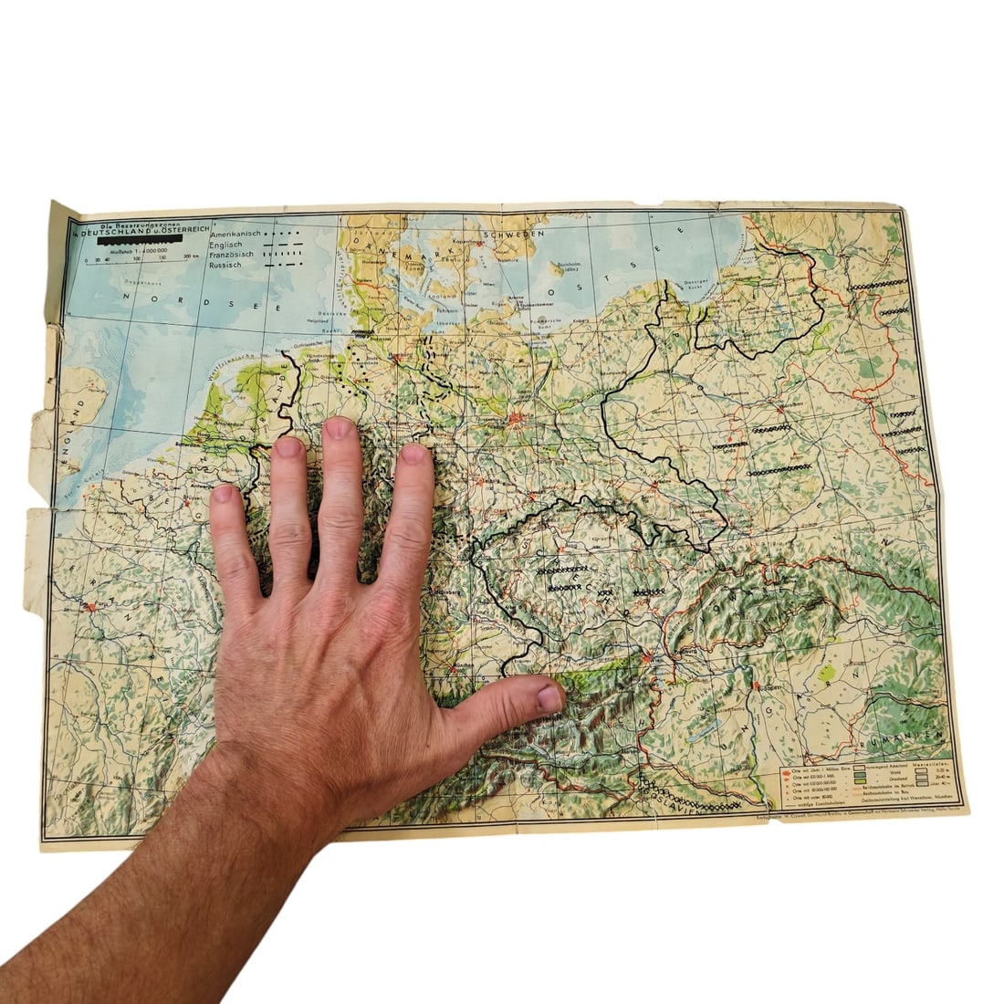
Post-WWII Map "Die Besatzungszonen in Deutschland u. Österreich"
- Price realized
- $1
- hammer, buyer's premium excluded · Fall 2026 Militaria and Political Auction
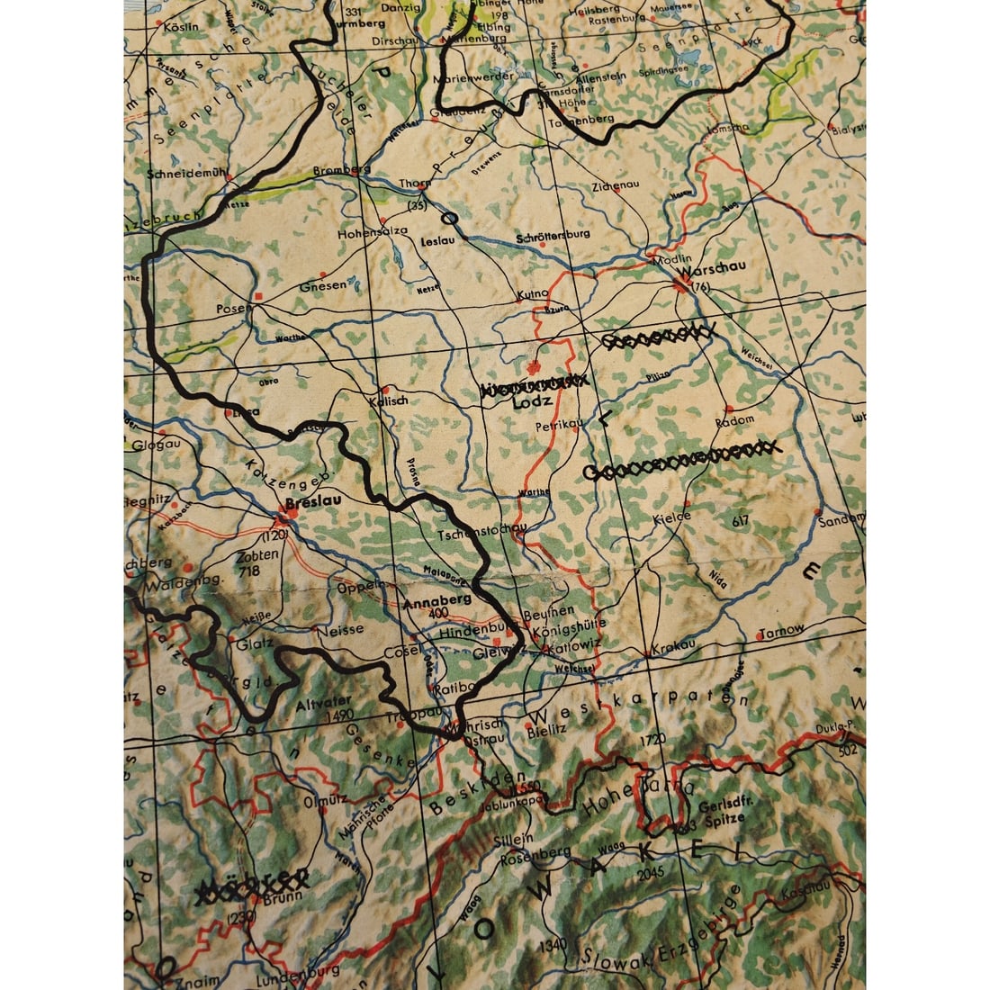
A printed folding map titled "Die Besatzungszonen in Deutschland u. Österreich" (The Occupation Zones in Germany and Austria), printed at a scale of 1:4,000,000. The map depicts Germany and Austria with the postwar Allied occupation zones outlined in bold black lines, with a key at upper left indicating American, English, French, and Russian zones by differing border patterns. Cities, rivers, rail lines, and topography across Central Europe are rendered in color, extending from the North Sea coast to the Carpathians and Poland. Such maps were produced for civilian and administrative use shortly after 1945 to illustrate the division of defeated Germany and Austria among the occupying powers, a division that would shape the political landscape of Cold War Europe. Following Germany's unconditional surrender in May 1945, the country and its capital, along with Austria, were divided into four zones administered by the United States, Britain, France, and the Soviet Union under agreements reached at Yalta and Potsdam. Maps of this kind circulated widely in the late 1940s to help civilians, officials, and returning refugees navigate the new administrative boundaries, travel permits, and postal routes created by the occupation. This partition, initially conceived as a temporary arrangement for demilitarization and denazification, hardened into the basis for the separate West and East German states founded in 1949 and shaped the frontline of the emerging Cold War.
Sold in Fall 2026 Militaria and Political Auction. This lot is not available to buy. Ask us about similar pieces