Fall 2026 Militaria and Political Auction · Lot 730
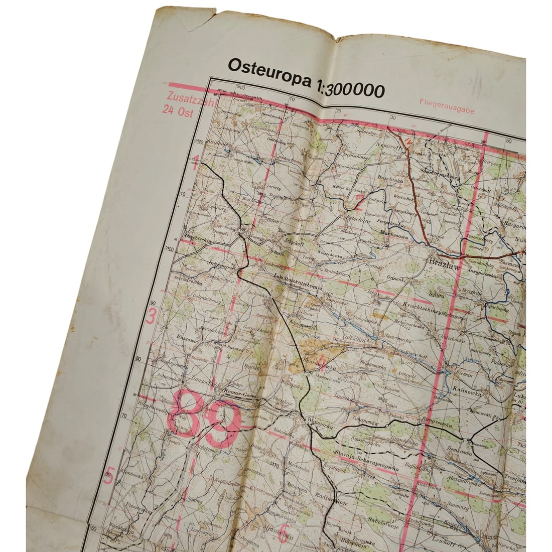
German WWII Deutsche Heereskarte Map - Brazlaw Odessa, Osteuropa 1:300,000
- Price realized
- $15
- hammer, buyer's premium excluded · Fall 2026 Militaria and Political Auction
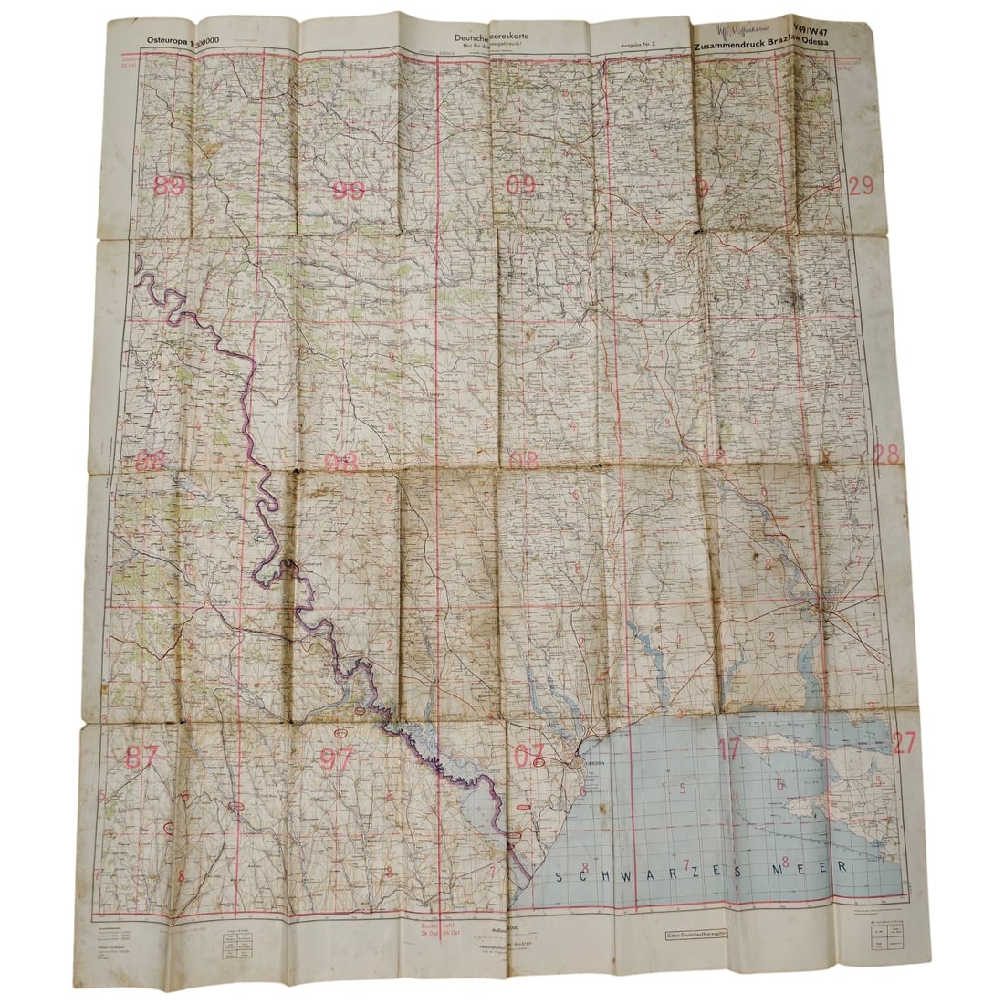
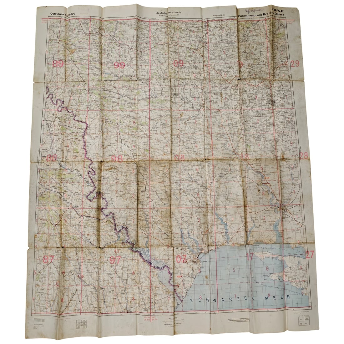
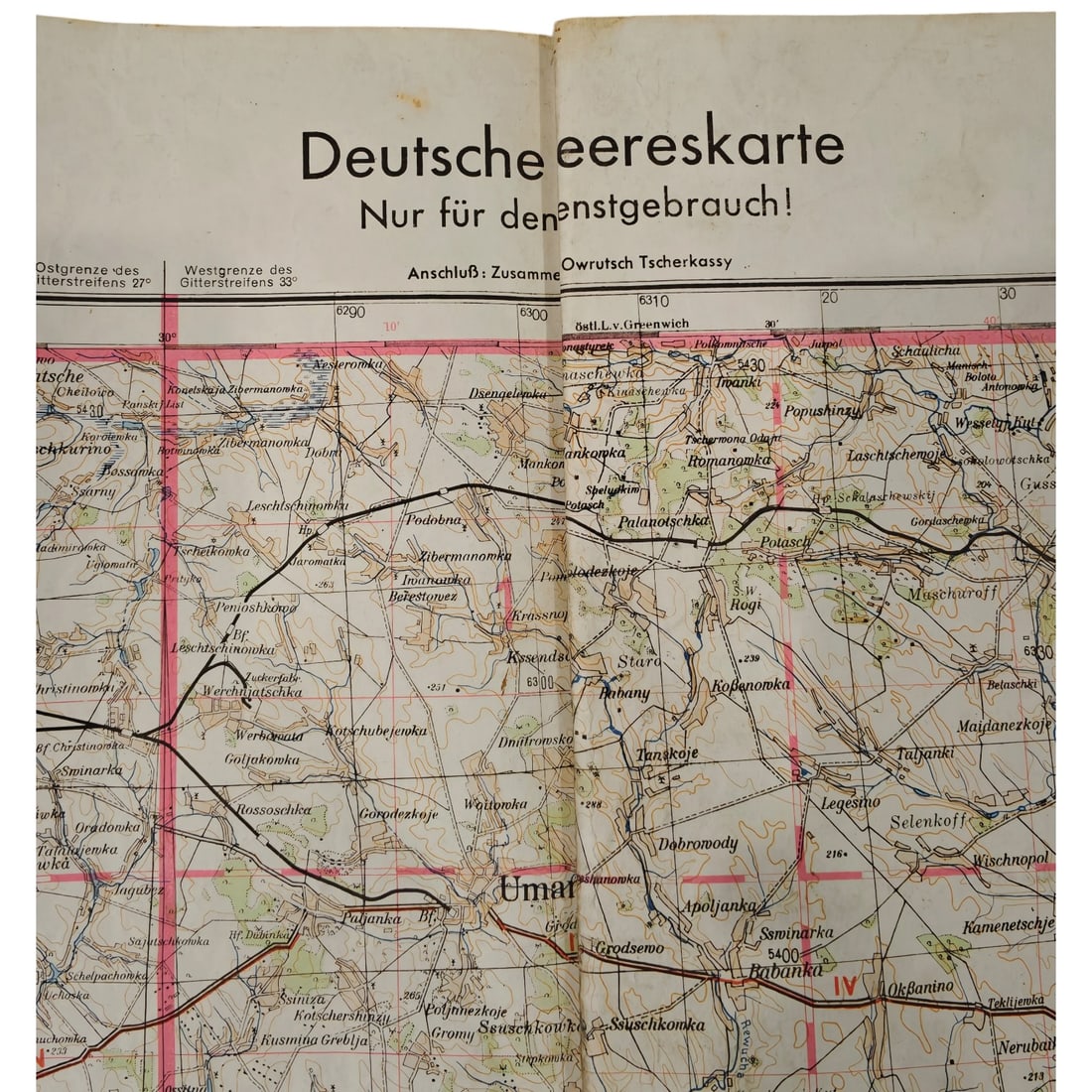
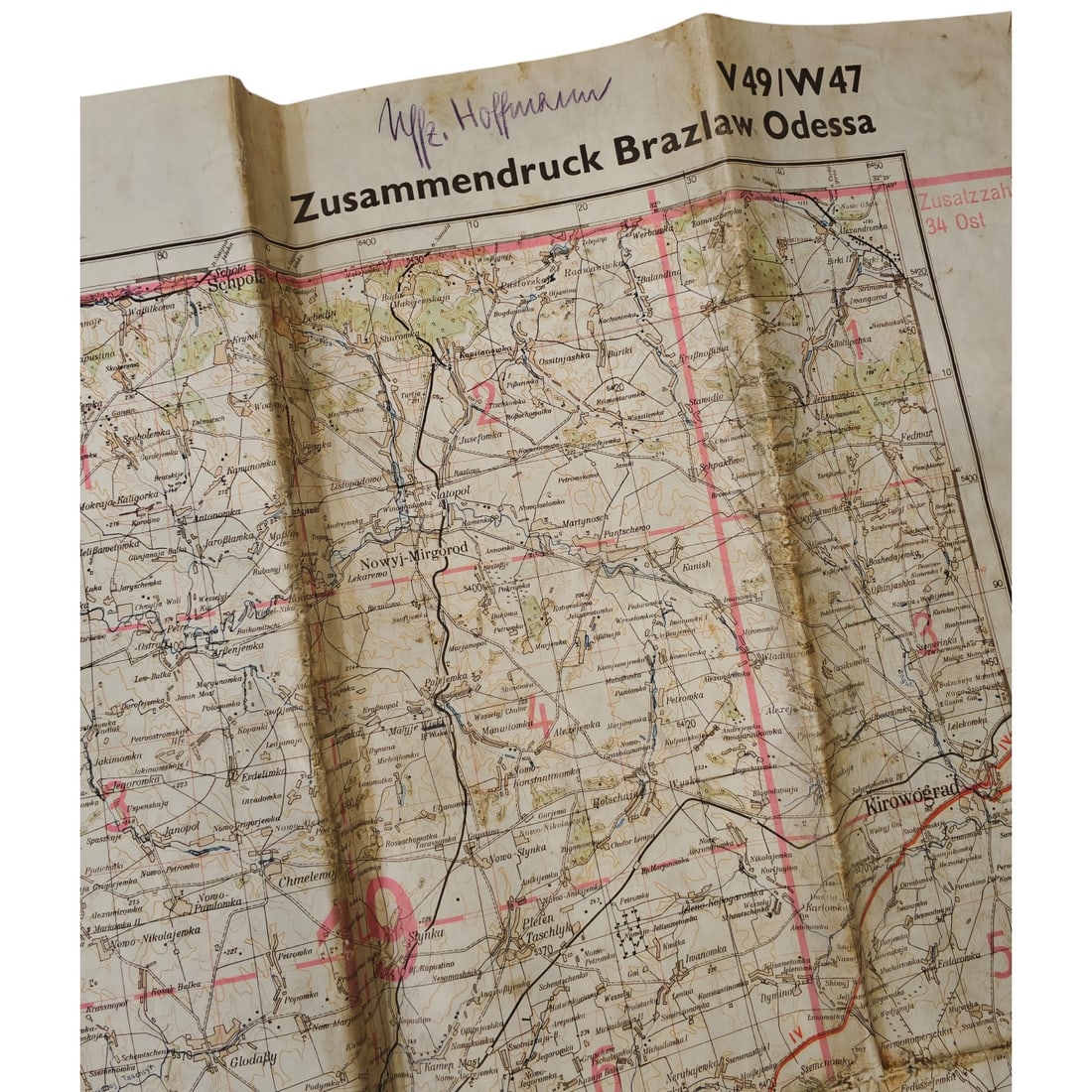
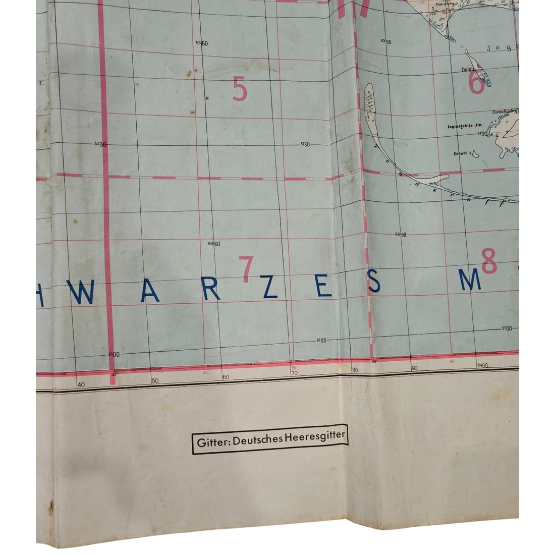
A folding German Army (Heer) staff map titled "Deutsche Heereskarte - Nur für den Dienstgebrauch!", covering the region of Eastern Europe at a scale of 1:300,000, printed as a Zusammendruck (composite sheet) titled "Brazlaw Odessa", sheet reference V49/W47. The map depicts territory extending from the Ukrainian interior down to the Black Sea coast (Schwarzes Meer) near Odessa, with grid overlays, red-numbered map indices, and place names including Uman, Kirowograd, and Brazlaw. A name, "Uffz. Hoffmann", is inked at the top margin, along with printed notations "Zusatzzahl 24 Ost" and "Zusatzzahl 34 Ost" and the grid key "Gitter: Deutsches Heeresgitter". Maps of this type were issued to German military personnel for operational planning and navigation during the campaign in the Soviet Union, with composite sheets such as this one assembled to cover specific army group areas of advance toward the Black Sea littoral. This sheet corresponds to the region of southern Ukraine encompassing Uman, Kirovograd, and the approaches to Odessa, an area central to the German Wehrmacht's 1941 advance during Operation Barbarossa and the subsequent siege and occupation of Odessa by German and allied Romanian forces. The "Nur für den Dienstgebrauch" marking and Heeresgitter grid reflect standard German Army cartographic practice, in which composite Zusammendruck sheets were compiled from Soviet and pre-war surveys to support corps- and divisional-level planning across the vast Eastern Front. The inked identification of an NCO (Uffz.) ties the sheet to the routine issue of such maps to junior officers and non-commissioned personnel for use in the field during the campaign in the East.
Sold in Fall 2026 Militaria and Political Auction. This lot is not available to buy. Ask us about similar pieces