Fall 2026 Militaria and Political Auction · Lot 729
Cold War Era German Map "Deutschland" with 1937 Borders and Berlin Sector Map
- Price realized
- $5
- hammer, buyer's premium excluded · Fall 2026 Militaria and Political Auction
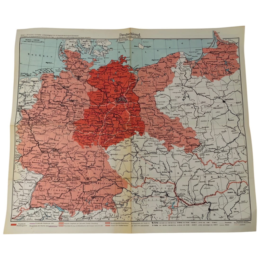
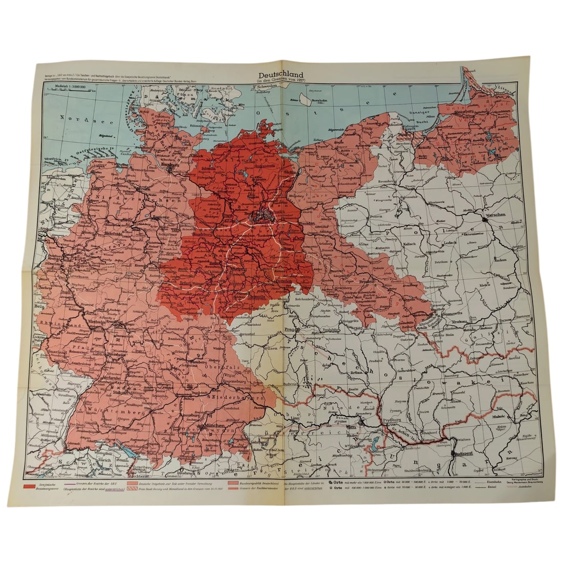
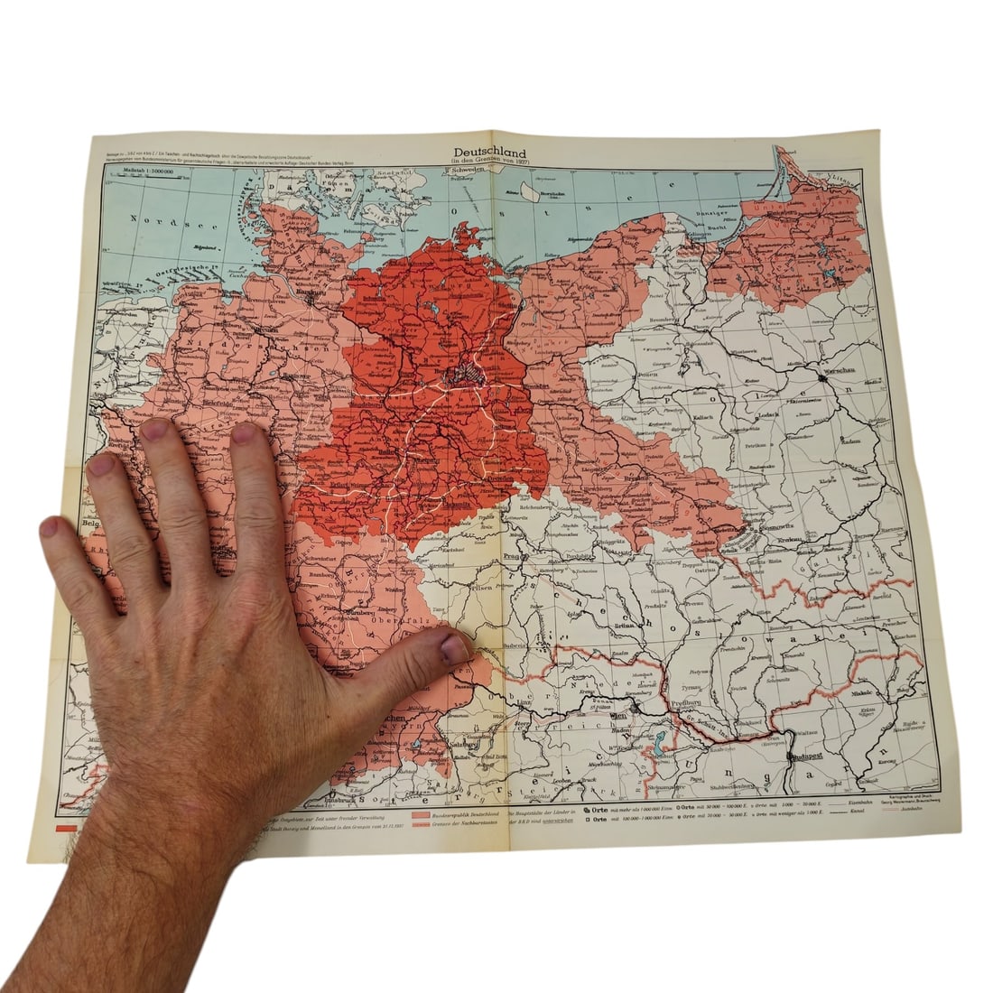
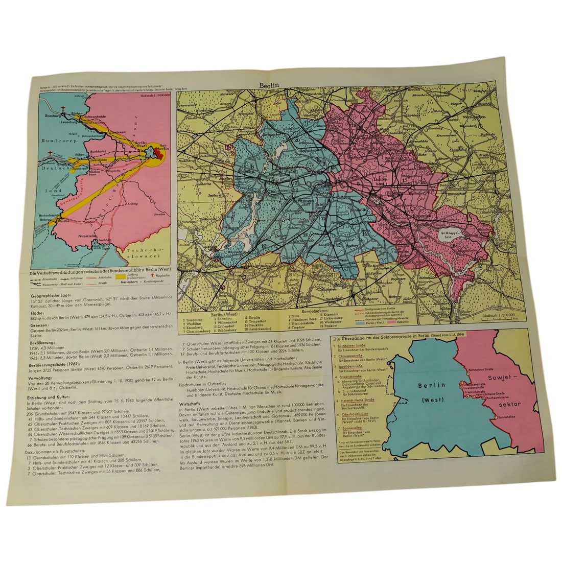
A printed folding map titled "Deutschland, " issued at a scale of 1:3,000,000, showing the German Reich borders of 1937 in red alongside the postwar Bundesrepublik and Soviet-administered zones, with the Oder-Neisse line and former eastern territories rendered in outline. The reverse carries a detailed map of divided Berlin, distinguishing the Western sectors from the Soviet sector, accompanied by population and infrastructure statistics dated 1961. Such maps were produced and distributed in West Germany during the Cold War, often by government-affiliated offices concerned with the "gesamtdeutsche" (all-German) question, to illustrate the postwar territorial losses and the division of the country and of Berlin for civic and educational use. This type of map reflects the political climate of postwar West Germany, where the display of the 1937 borders alongside the divided Bundesrepublik, Soviet zone, and Oder-Neisse line served to keep the "German question" and the loss of the eastern territories before the public. Such material was typically produced by government or quasi-official bodies promoting reunification sentiment and was widely used in schools and civic education during the Cold War. The 1961 Berlin data points to the period immediately surrounding the construction of the Berlin Wall, when the city's division became a fixed and internationally recognized feature of the Cold War landscape.
Sold in Fall 2026 Militaria and Political Auction. This lot is not available to buy. Ask us about similar pieces