Fall 2026 Militaria and Political Auction · Lot 656
Imperial German "Justus Perthes' Deutscher Marine-Atlas" by Paul Langhans, 1898
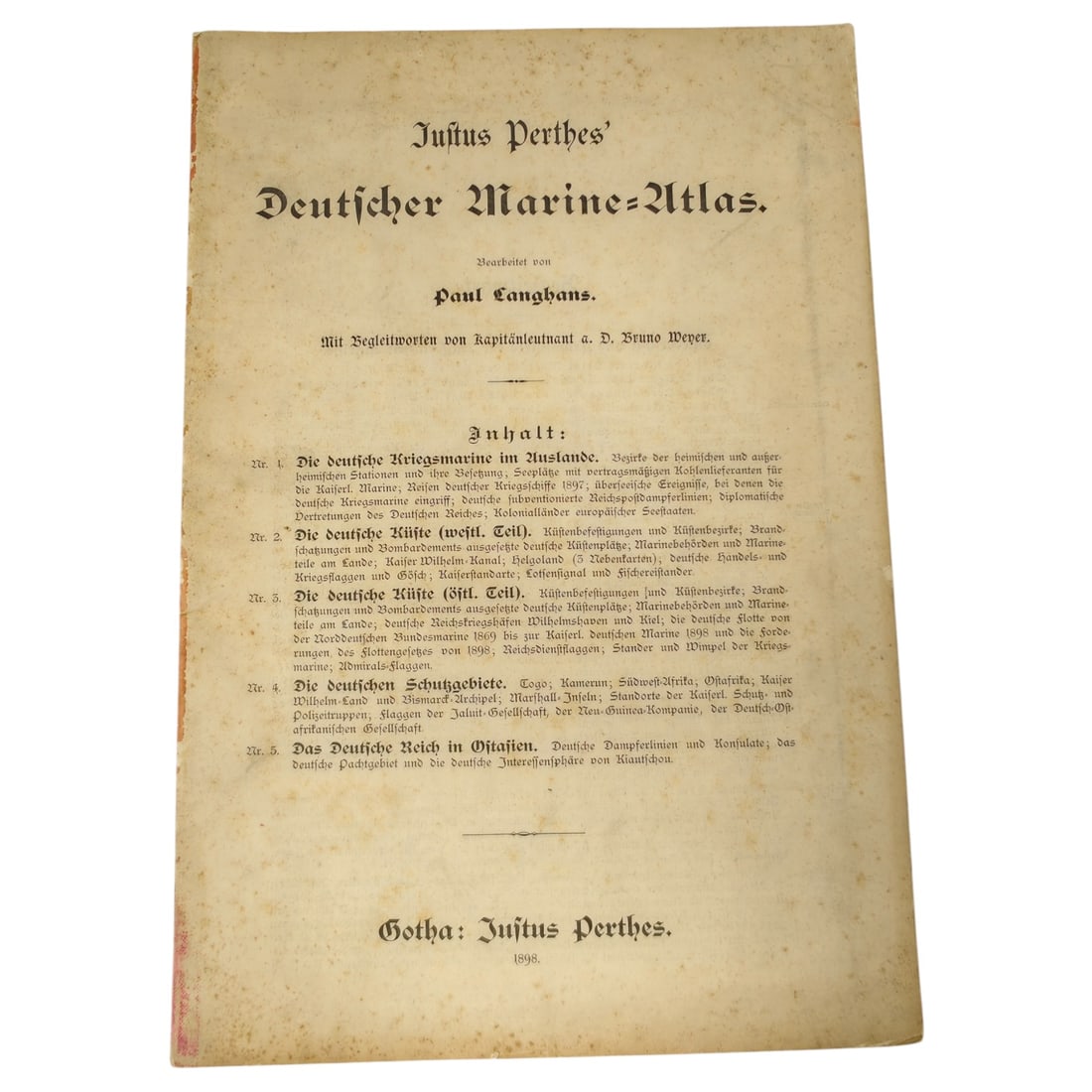
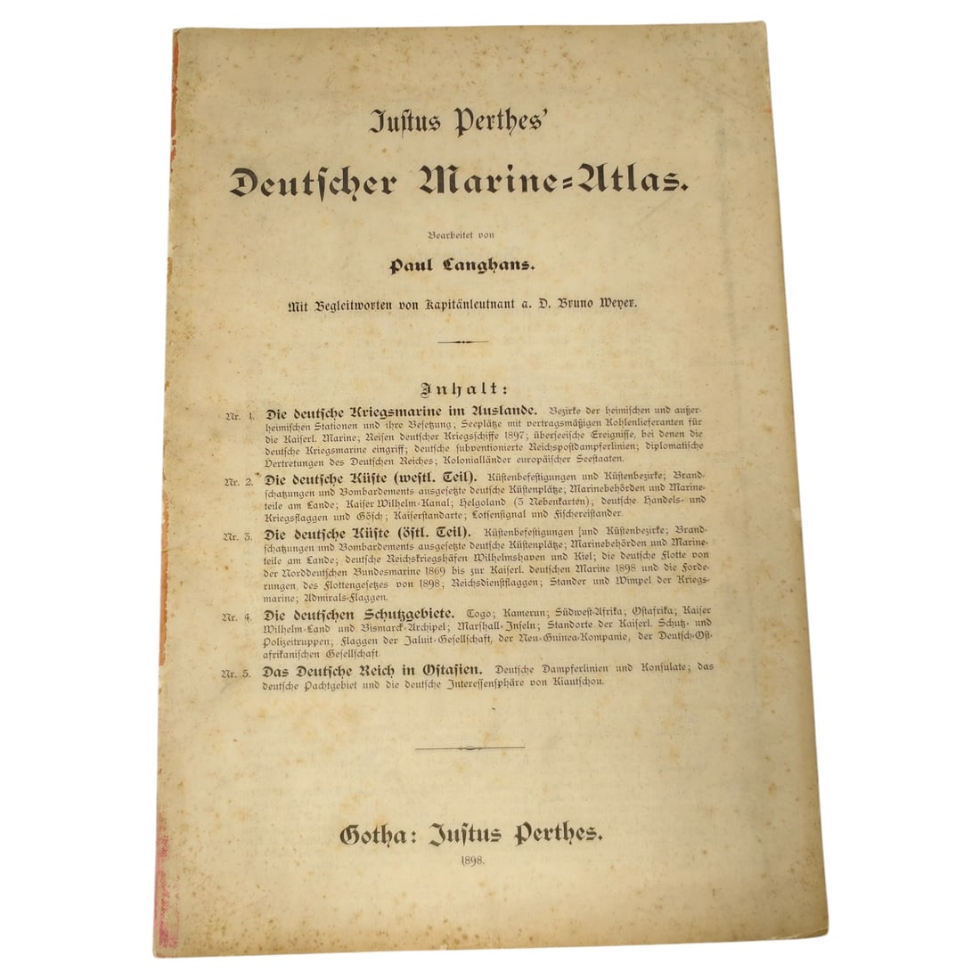
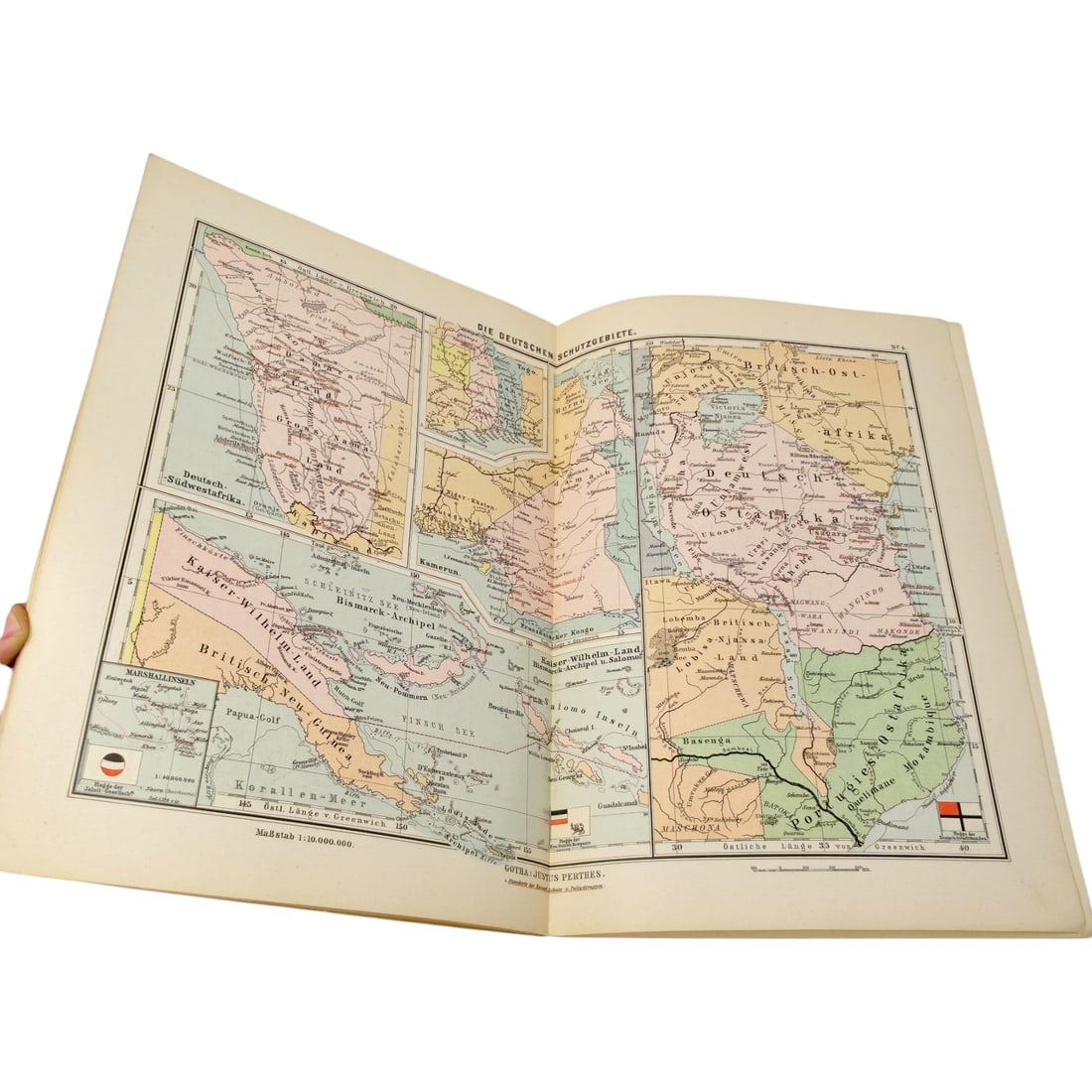
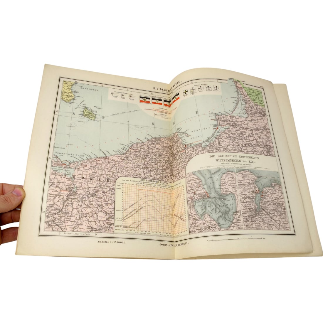
A German naval atlas published by Justus Perthes in Gotha, dated 1898, compiled by Paul Langhans with accompanying text by Kapitänleutnant a.D. Bruno Weyer. The title page lists the atlas's contents, including sections on the German Imperial Navy abroad, the western and eastern German coastlines, and the German protectorates, with a color-printed map spread showing German Southwest Africa, German East Africa, and Kaiser-Wilhelm-Land with the Bismarck Archipelago and Marshall Islands. This publication documents the German Empire's overseas colonial and naval presence at the close of the 19th century, a period of active expansion of the Kaiserliche Marine and Germany's Schutzgebiete in Africa and the Pacific. This atlas appeared during the height of Wilhelmine Germany's push for global naval and colonial standing, coinciding with Admiral Tirpitz's naval build-up programme and the passage of the first Fleet Act in 1898. Justus Perthes, the Gotha cartographic house, was among the most authoritative German publishers of geographic and colonial reference works, and Bruno Weyer, a retired naval lieutenant, was a recognised contemporary commentator on naval affairs, later editor of the Nauticus yearbook. The depicted territories—German Southwest Africa, German East Africa, and Kaiser-Wilhelm-Land with the Bismarck Archipelago and Marshall Islands—represented the empire's principal Schutzgebiete, administered as colonial protectorates from the 1880s onward and defended and supplied by the Kaiserliche Marine. Such atlases served both as practical naval and administrative references and as instruments of public education promoting Germany's imperial and maritime ambitions.
Catalogued for Fall 2026 Militaria and Political Auction. This lot is not for sale on this site. Ask us about similar pieces