Fall 2026 Militaria and Political Auction · Lot 341
German Printed Map "Der Nahe Osten" (The Near East) – Turkey, Middle East and Soviet Border Re
- Price realized
- $30
- hammer, buyer's premium excluded · Fall 2026 Militaria and Political Auction
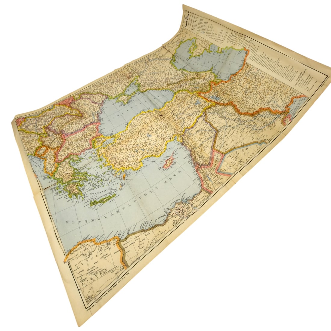
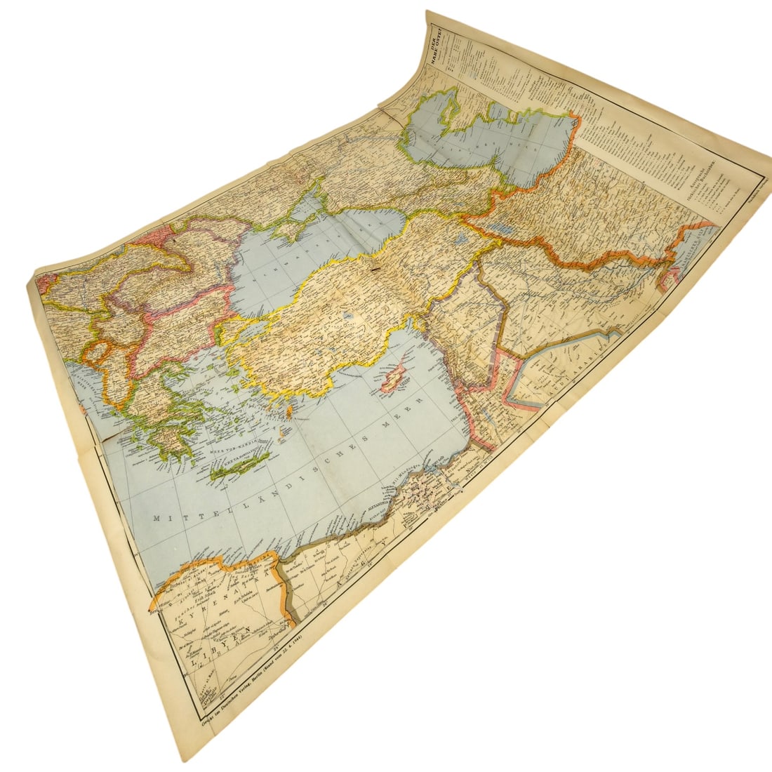
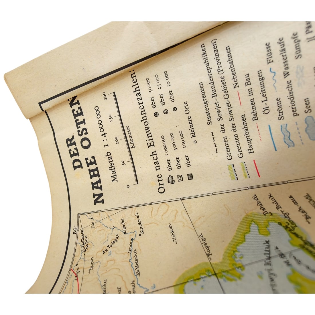
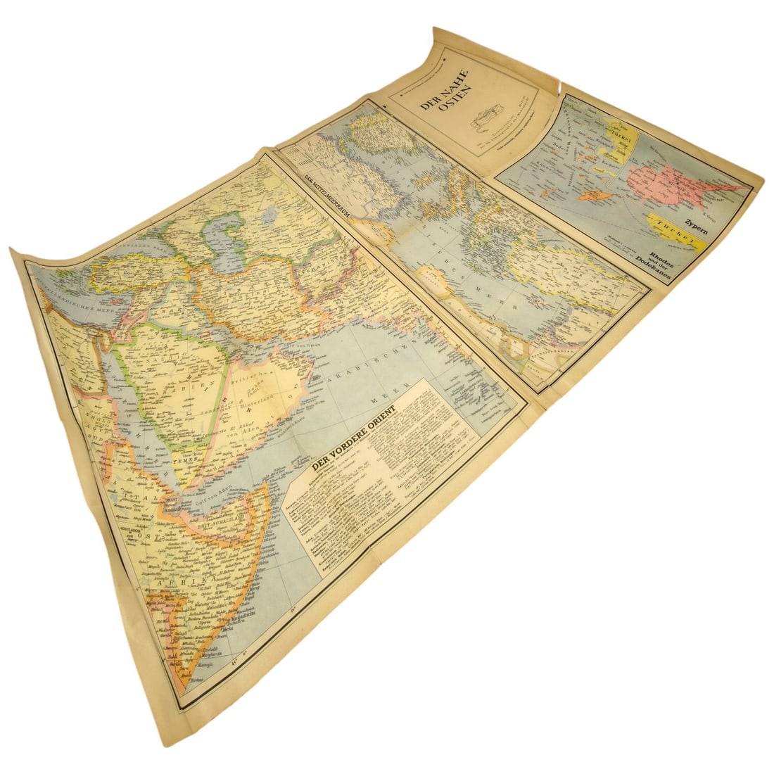
A printed German-language map titled "Der Nahe Osten" ("The Near East"), covering Turkey, the eastern Mediterranean, the Levant, and the Soviet border regions to the north, at a scale of 1:4,000,000. The map is bordered with a printed legend key identifying state boundaries, Soviet federal republic and province borders, main and branch rail lines, oil pipelines, and population centers by size, along with an index listing place names in small type along the right margin. Maps of this type were produced for general reference and news-following use in Germany during the interwar and WWII periods, depicting the geopolitical divisions of the Near East and adjoining Soviet territory relevant to contemporary military and political developments in the region. This type of map reflects German public and military interest in the Near East as a strategic theatre, particularly given Turkey's position between the Soviet Union, British-held territories in the Levant and Iraq, and Axis interests in Caucasian oil. Such maps circulated widely in Germany during the late 1930s and early 1940s, informing readers and planners alike about rail links, pipelines, and Soviet administrative divisions relevant to potential campaigns and diplomatic maneuvering in the region. They illustrate the broader German preoccupation with Soviet border regions and Middle Eastern resources during the build-up to and course of the Second World War.
Sold in Fall 2026 Militaria and Political Auction. This lot is not available to buy. Ask us about similar pieces